Home › Long-distance routes › Cares Trail › 1 day · Poncebos → Caín traverse

Cares TrailOne dayOn footSimon Burchell — CC BY-SA 4.0 (Wikimedia Commons)

Cares Trail

Poncebos → Caín

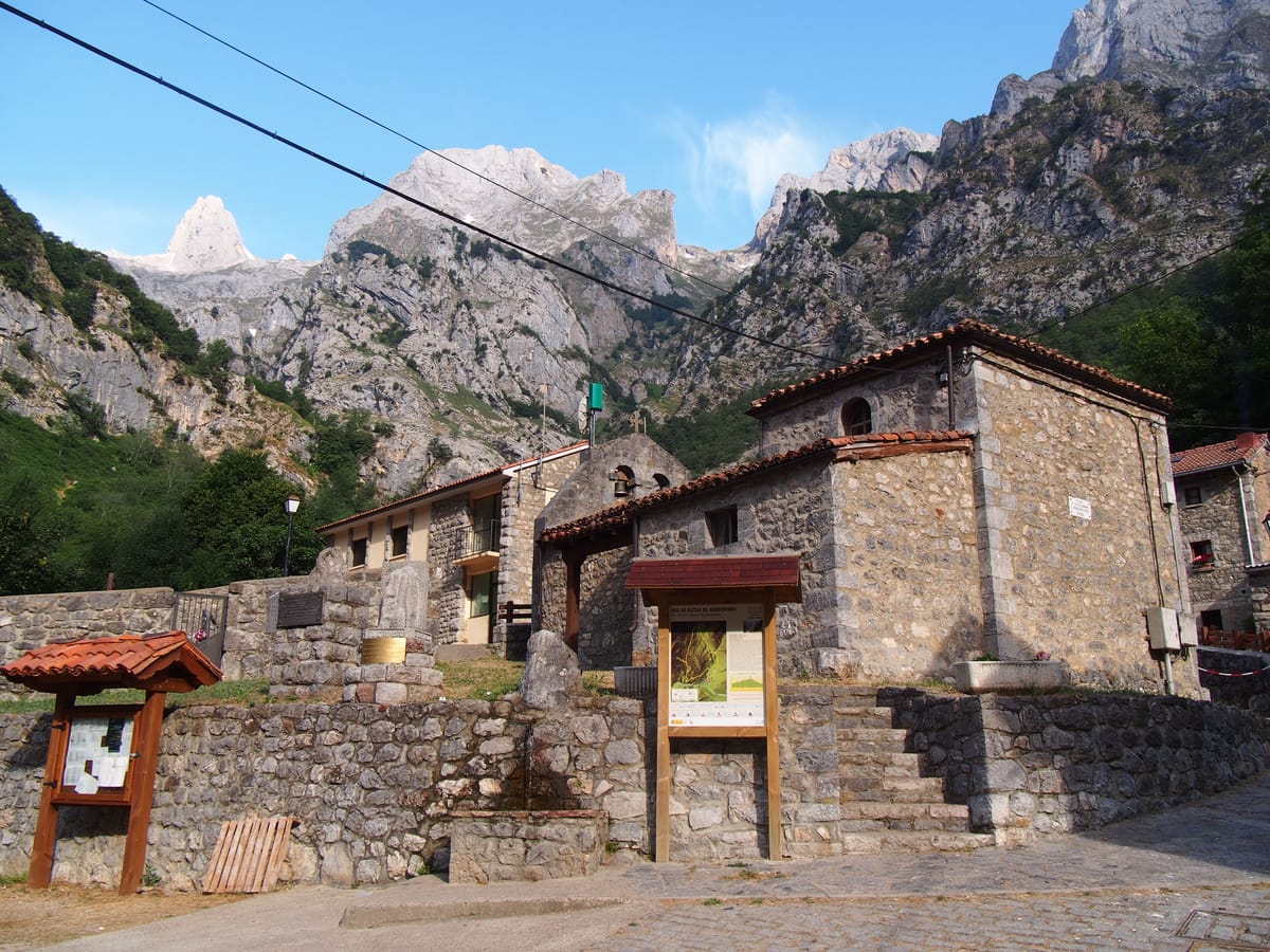
The classic traverse: 12 kilometres from Poncebos (Asturias) to Caín (León), running halfway up the wildest part of the gorge. Waymarked as PR-PNPE 3, it shares part of its route with the GR-202. As it is one way only, you must arrange the return before setting out. If you would rather not depend on a taxi to get back, or you are walking with children, the other variant of this route covers the most spectacular half of the gorge out and back from Caín. Important warnings: much of the path runs above precipices with no railing or protection of any kind, and there are narrow passages where passing others is awkward. There is no water and no shade along the whole route. The National Park warns of falling rocks, a greater risk on days of heavy rain or strong wind and the days immediately after. Dogs must be kept on a fixed lead no longer than 1.20 m: extendable leads are banned on this route. Bicycles are not allowed on the path. The trail can close after rockfalls or fires: check its status on the National Park website before setting out.

12 km1 stagesModerate+474 m / −311 mBest season: Primavera y otoño. En verano hace mucho calor y el sendero se masifica: apenas hay sombra ni agua. En invierno puede haber hielo y mayor riesgo de desprendimientos.

Stage 1 · Poncebos → Caín

12 km4 h3/5

The full traverse of the Divine Gorge, from Asturias to León, following the line of the hydroelectric channel between walls of grey limestone.

Elevation profile

↑ 474 m ↓ 311 m

What to see

Poncebos bridgeStartrheins — CC BY 3.0 (Wikimedia Commons)

Poncebos bridge

Start / Viewpoint

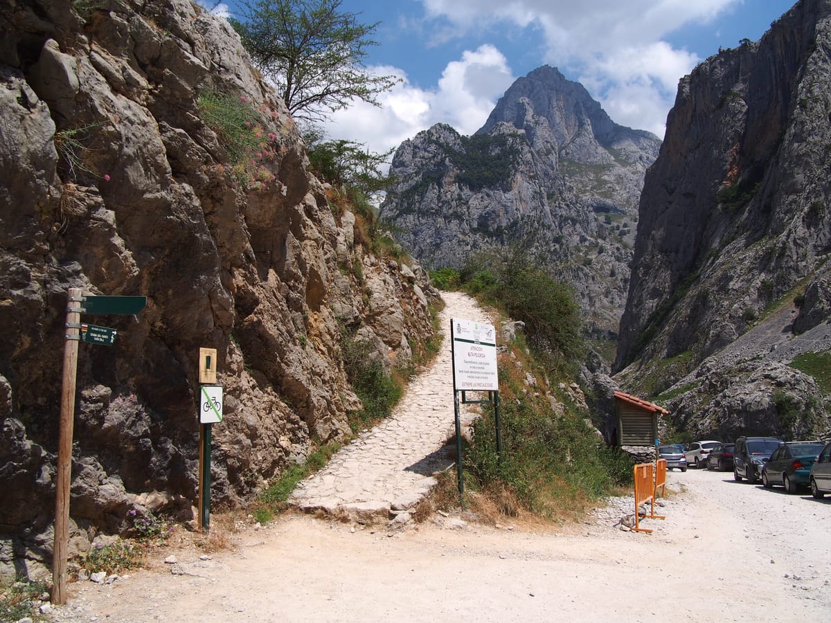
The starting point at 260 metres above sea level, beside the hydroelectric plant that gives the whole channel its purpose. The hardest climb of the day begins here.

Tip

The first 2 km climb about 265 metres in roughly 45 minutes: the toughest part of the route. Take it steadily, because afterwards the path eases off for 9 almost level kilometres.
Los Collaosrheins — CC BY 3.0 (Wikimedia Commons)

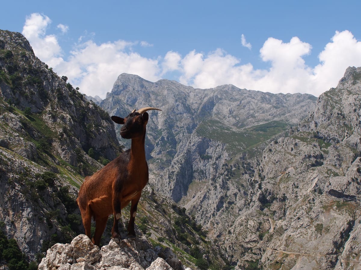
Los Collaos

Nature / Pass

The top of the initial climb. From here the path drops for a kilometre and enters the gorge proper.

Tip

The hard part ends here. Turn around to look back at the valley before you enter the ravine: it is the last open view before the walls close in.

The Cares channelCruccone — CC BY 3.0 (Wikimedia Commons)

The Cares channel

History / Engineering

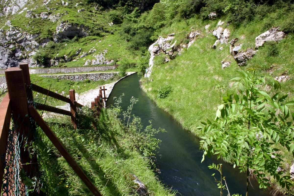
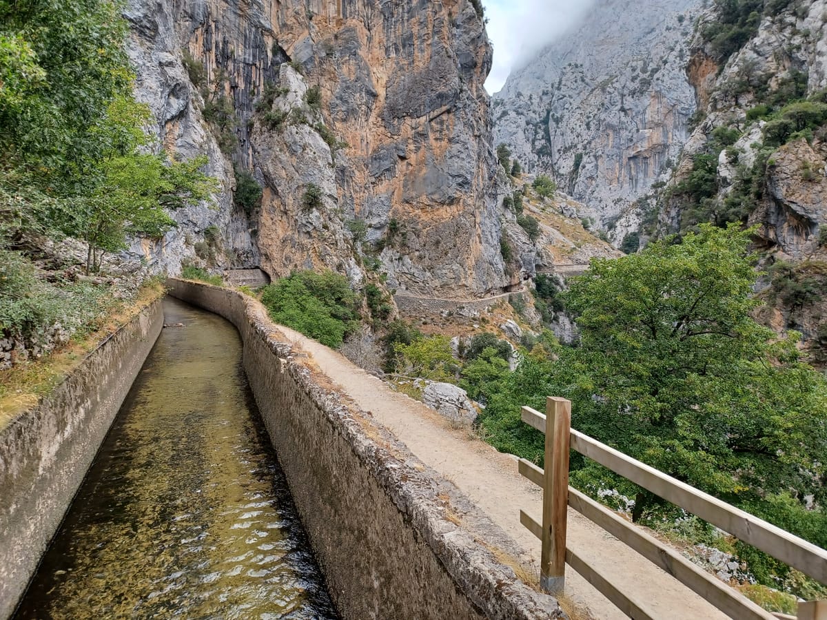
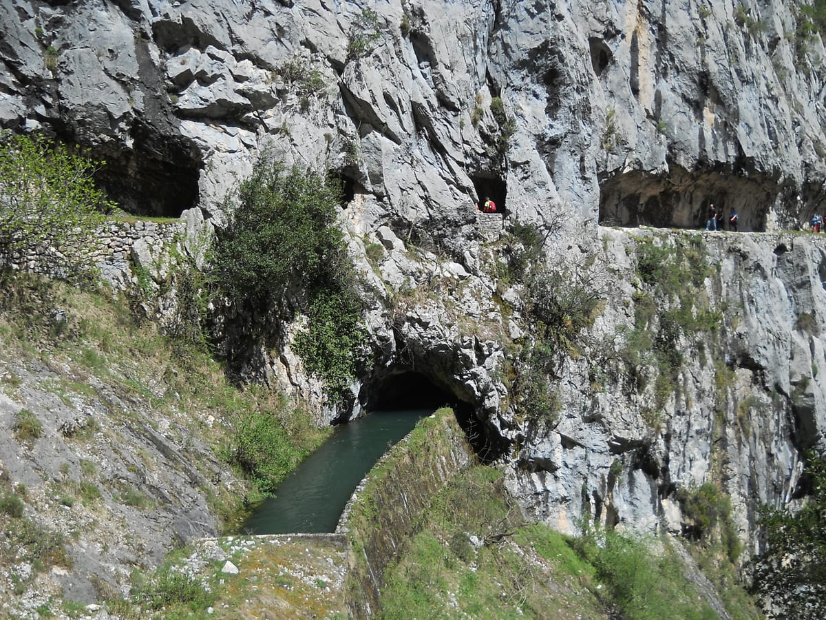
Between 1915 and 1921 the Sociedad Eléctrica de Viesgo cut eleven kilometres of channel to carry the waters of the Cares from Caín to the Poncebos power station. Seventy-one tunnels were bored by hand, more than 500 labourers worked on it and eleven lost their lives in accidents. The channel drops one metre every thousand: it surfaces and dives back into the rock again and again.

Tip

The path you are walking was born with the channel, though not as you see it: the original service track was cut during the 1915-1921 works, and between 1945 and 1950 it was widened to the two metres it has today. Spain's most famous route is, at heart, a service road.

The tunnels and the Divine GorgeFalk2 — CC BY-SA 4.0 (Wikimedia Commons)

The tunnels and the Divine Gorge

Nature / Gorge

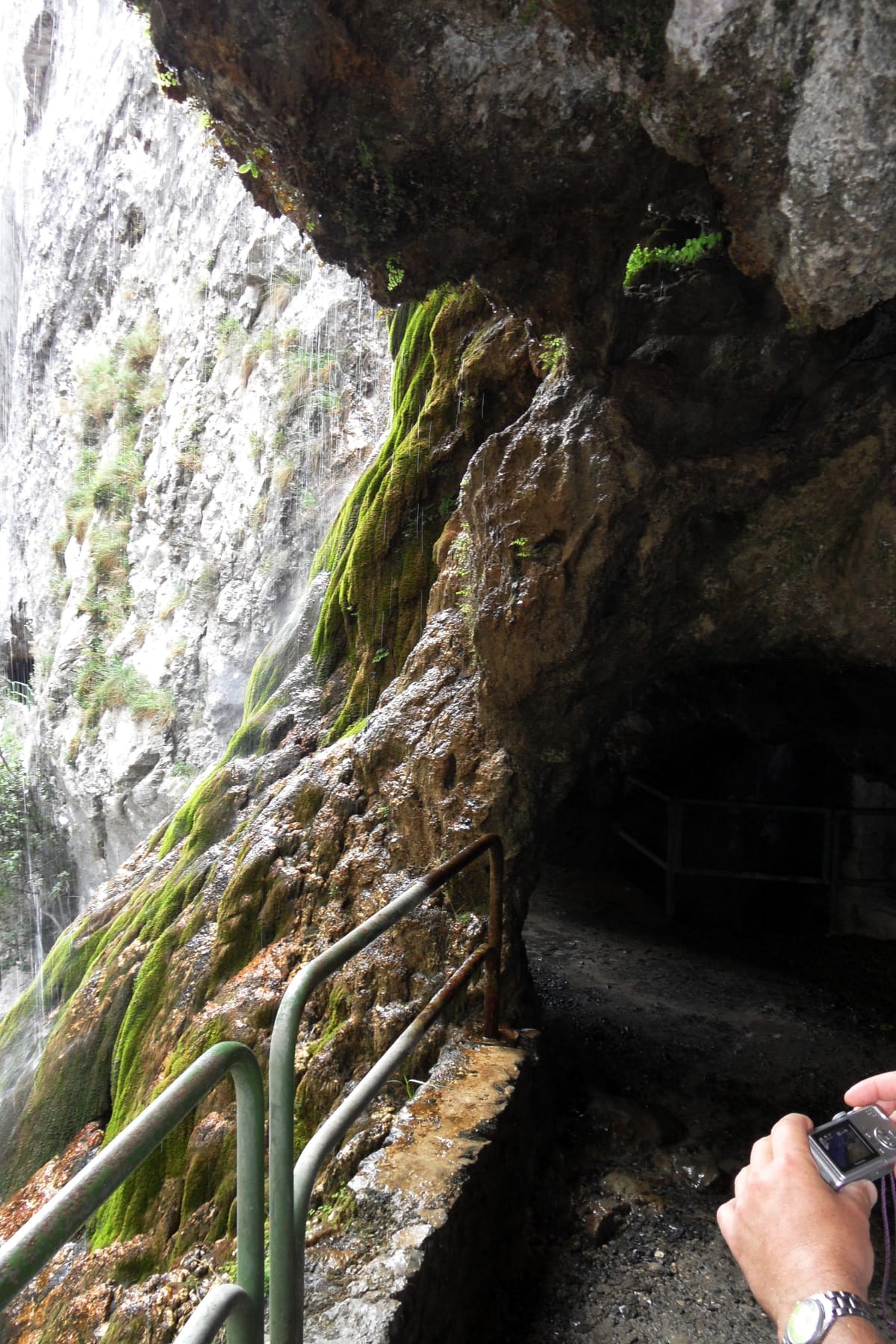
The heart of the route. The path runs halfway up the cliff, cut into near-vertical walls of grey limestone, high above the river. More than seventy tunnels and passages hewn from the rock follow one another as the gorge narrows.

Tip

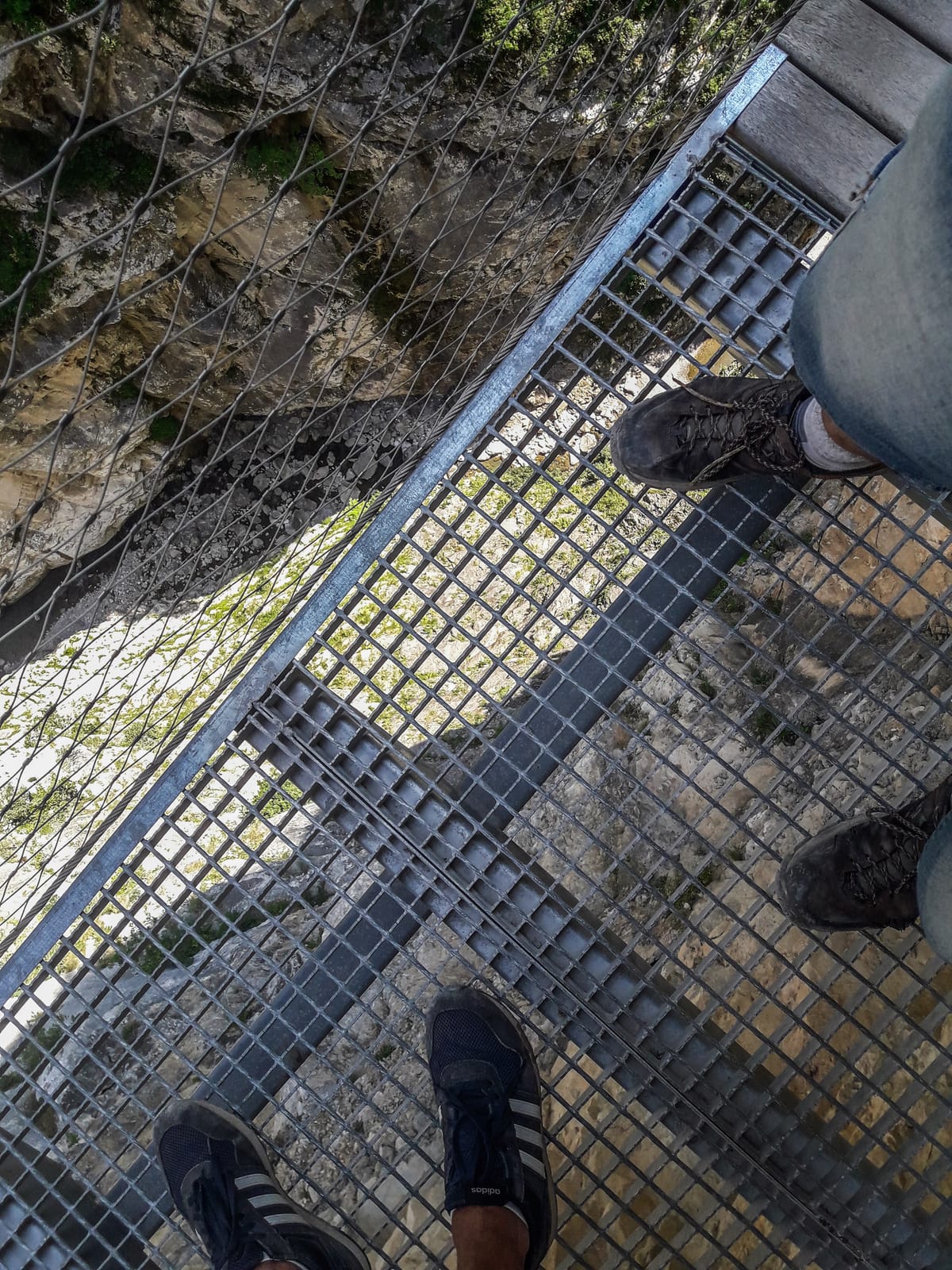
This is where the path overhangs unprotected drops. Keep to the inside, don't lean out, and take particular care when passing others at the narrow points.

Culiembro channelJCNazza — CC BY 3.0 (Wikimedia Commons)

Culiembro channel

Nature / Turning point

The point where many walkers setting out from Caín turn back: everything up to here is the most beautiful and narrowest part of the gorge, with its bridges and tunnels.

Tip

If you are doing the short version from Caín, this is your turning point. And if you are crossing all the way, you have already seen the best of it.

Start early and avoid August

Practical / Tip

This is the busiest path in the Picos de Europa. In summer and at weekends it fills up, which complicates both parking at Poncebos and passing other walkers at the narrow points.

Tip

Set off early and, if you can choose, avoid August and weekends. The route can also be walked the other way round, from Caín: flatter at the start and finishing with a steep descent to Poncebos.

Martínez footbridgeDavid Ceballos from Quito, España — CC BY 2.0 (Wikimedia Commons)

Martínez footbridge

Heritage / Footbridge

It bears the name of a family of climbers from Camarmeña closely tied to the Picos de Europa. Víctor Martínez climbed the Urriellu solo in 1916, by the same line opened in 1904 by Pedro Pidal and Gregorio Pérez 'el Cainejo' on the north face of the Naranjo de Bulnes. In 1924 he opened the route on the south face known as the Vía Víctor.

Tip

A climbing family's name turned into a footbridge. Look up and find the Picu Urriellu, the mountain that gives this story its meaning.

Rebecos and Bolín bridgesManuel Velazquez — CC BY 3.0 (Wikimedia Commons)

Rebecos and Bolín bridges

Heritage / Bridges

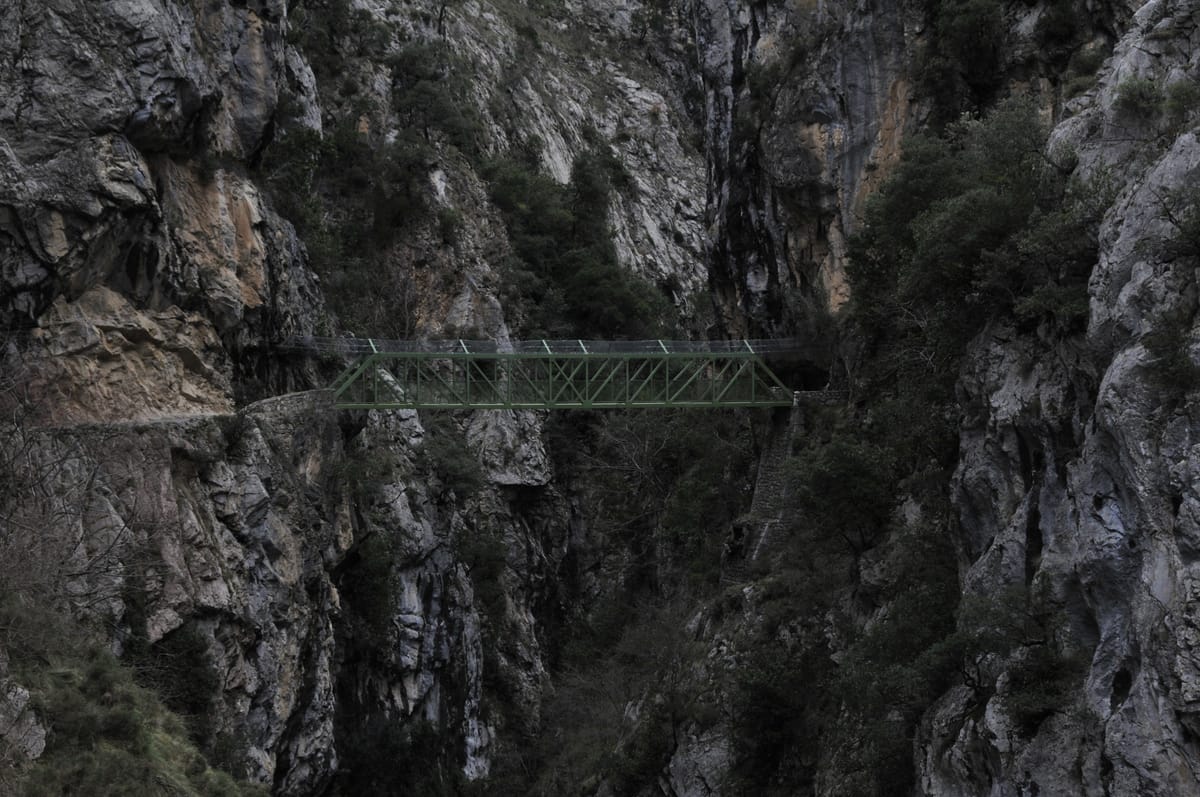
In the narrowest stretch, near Caín, the path crosses the Cares over two bridges in quick succession before entering the section of tunnels carved from the rock. They are among the most photographed spots in the gorge.

Tip

Coming from Caín, these bridges appear almost straight away: this is the most spectacular and the most accessible part of the whole route.

Caínrheins — CC BY 3.0 (Wikimedia Commons)

Caín

Village / Finish

The León village where the path begins and where the channel's dam stands. The end of the traverse, hemmed in by the gorge walls.

Tip

You have to get back from here: a taxi covers about 105 kilometres by road and takes around two and a half hours, depending on the route. If you haven't booked one, consider walking there and back instead (24 km, 6-8 hours).

Planning your way back

Practical / Logistics

This variant is one way only, so the return has to be sorted before you set off. There are three options: a taxi or arranged transport from Caín (about 105 km by road, some 2 h 30 min depending on the route), combined services that drop you at one end and collect you at the other, or walking back along the same path, which turns the day into 24 kilometres and 6-8 hours.

Tip

Decide before you start walking, not when you reach Caín. If in doubt, the short version from Caín to Culiembro and back gives you the best of the gorge without depending on anyone.

Every stage is in the app, with its map and elevation profile, the points of interest with their tip, and the option to save them for when there is no signal.

Open in JourGuide

Other ways to do it