The full official trail: 141 circular kilometres linking the nineteen villages of the Sierra de San Vicente. Six days among oak and chestnut woods, churches with floors paved in graves, pillories of justice, ruined castles and the mulberry trees that once fed the silkworms. Best walked clockwise.
141 km6 stagesModerate+2864 m / −2871 mBest season: Primavera, con todo florecido, y otoño, cuando el castañar de El Real está en su mejor momento. En verano hace mucho calor en los valles; en invierno hay frío y barro en la sierra, pero es cuando salen las máscaras y las hogueras.Circular
The stage that enters the sierra, and the richest of the route: the snow wells and oak wood of El Piélago, the hilltop castle, the cave of the Holy Martyrs, Hinojosa with its spouts and church, and the descent towards the southern villages.
Elevation profile
↑ 434 m ↓ 644 m
What to see
StartAsqueladd — CC BY-SA 3.0 (Wikimedia Commons)
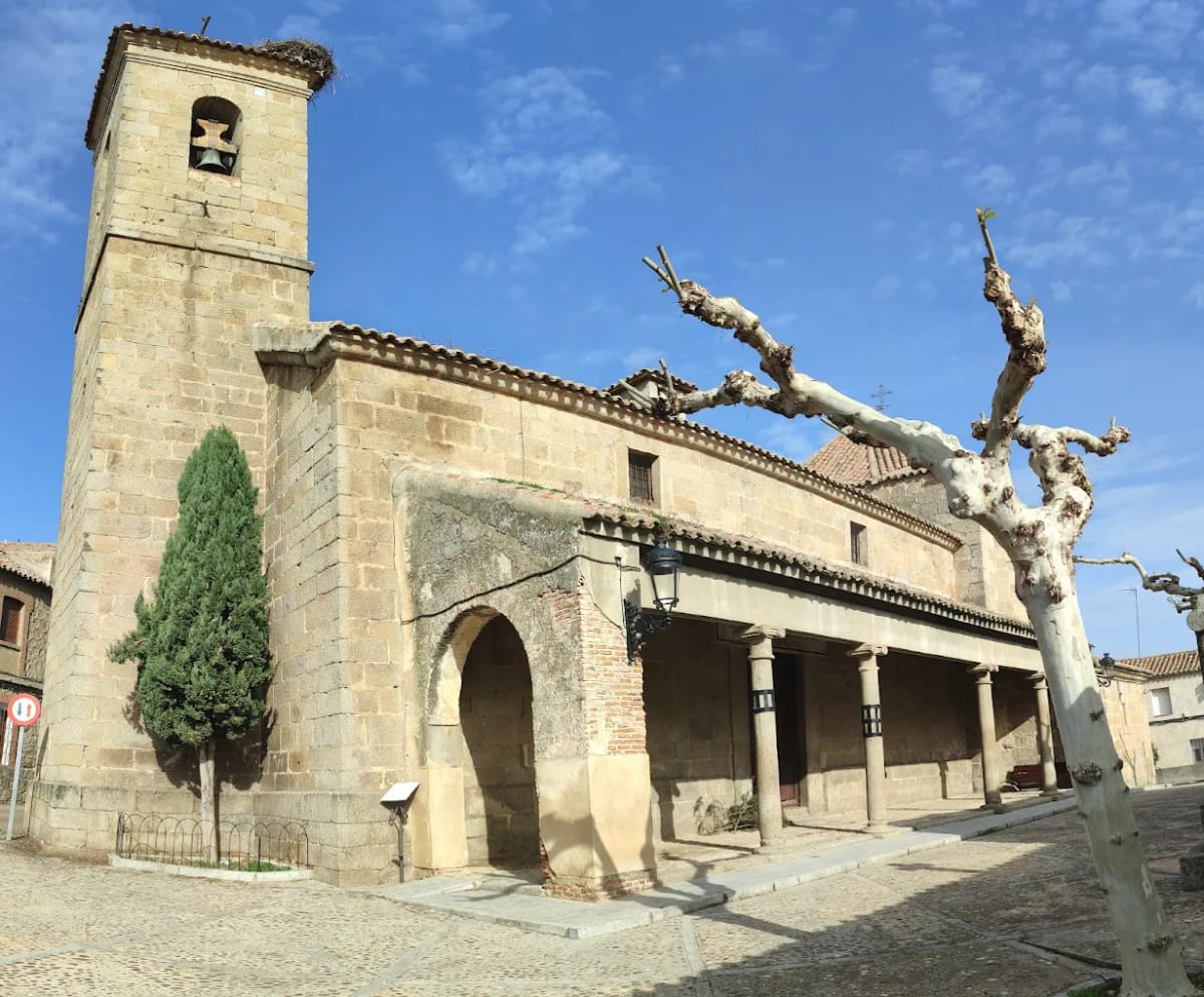
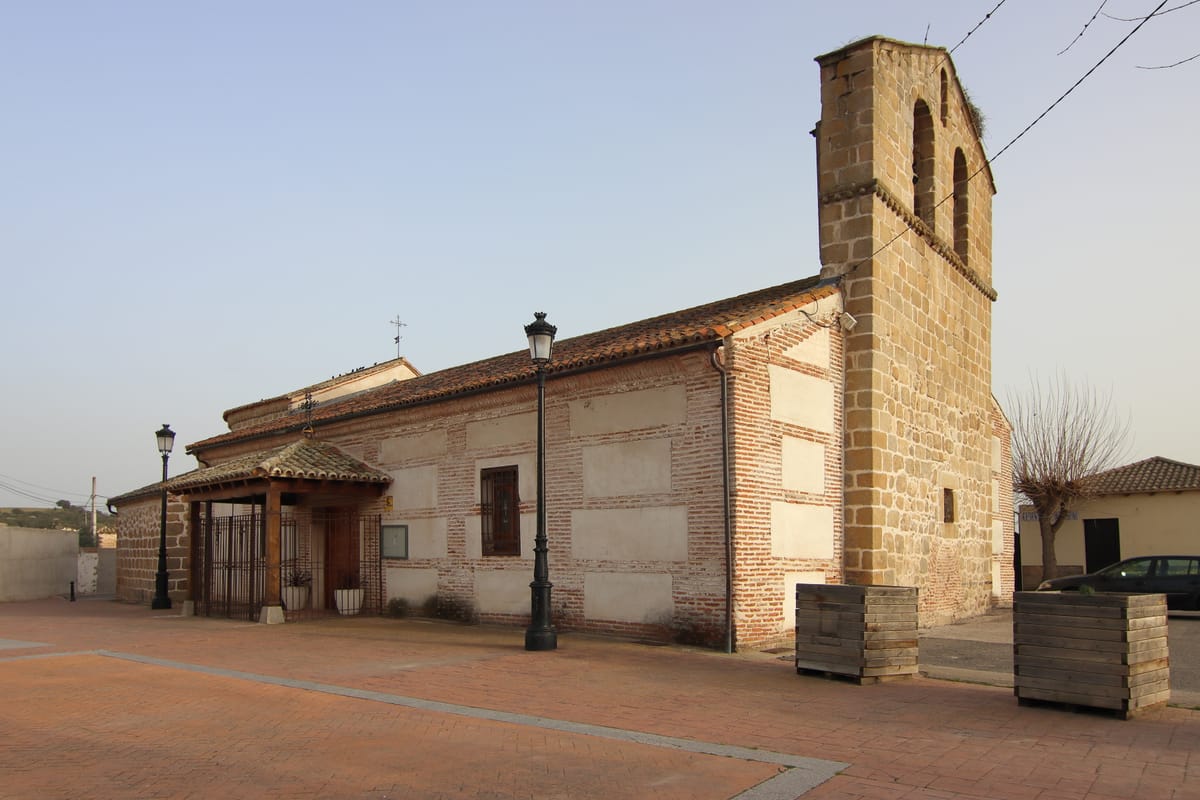
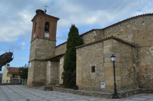
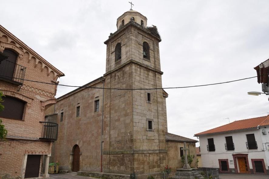
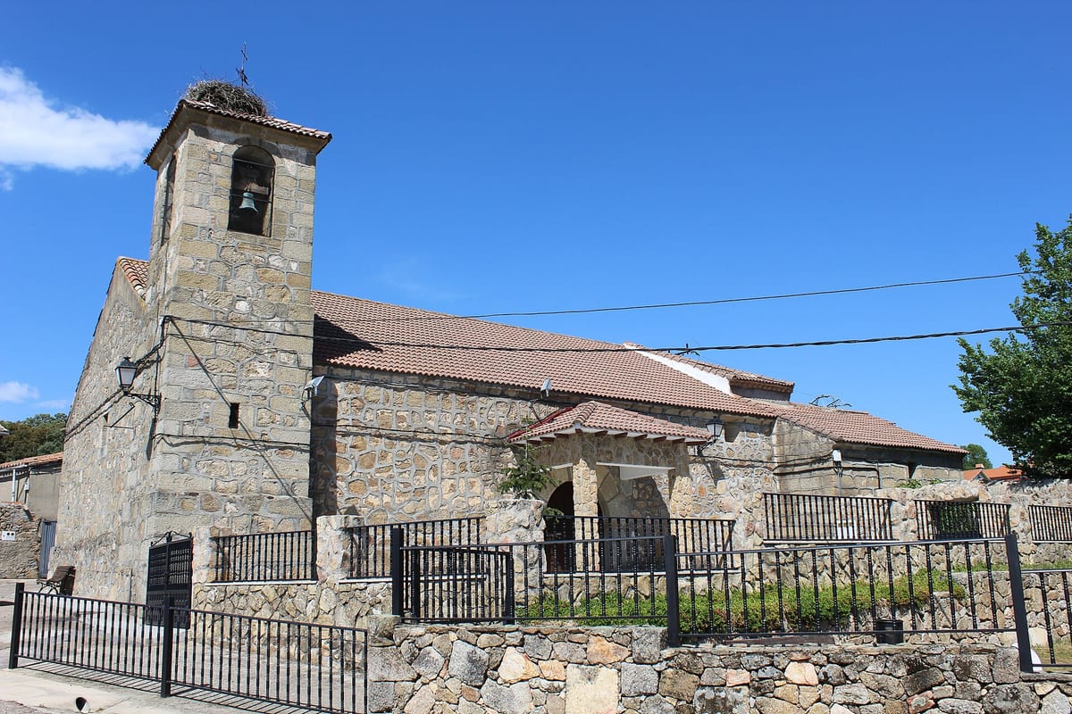
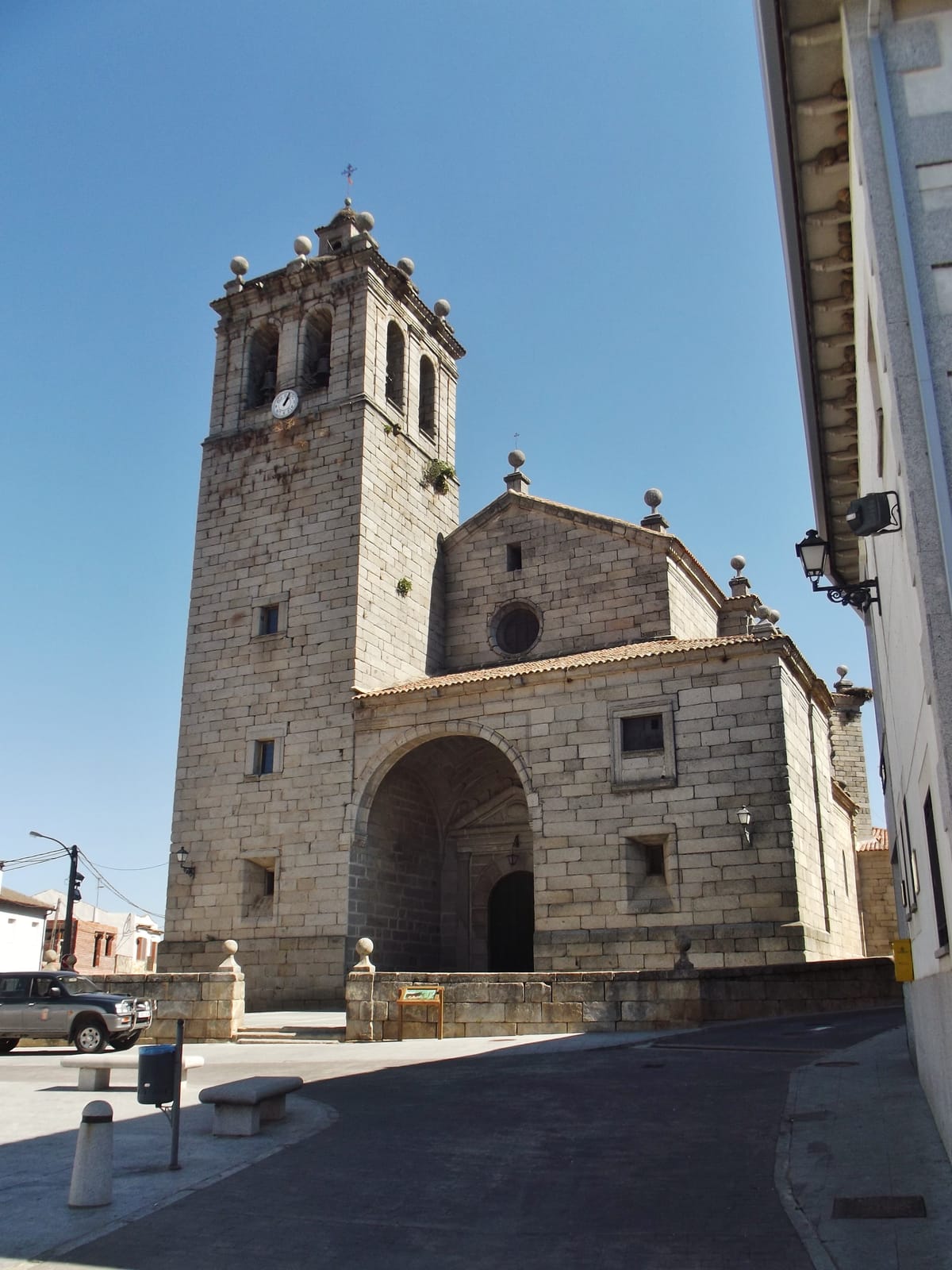
Church of Santa María de la Nava
Religion / Graves
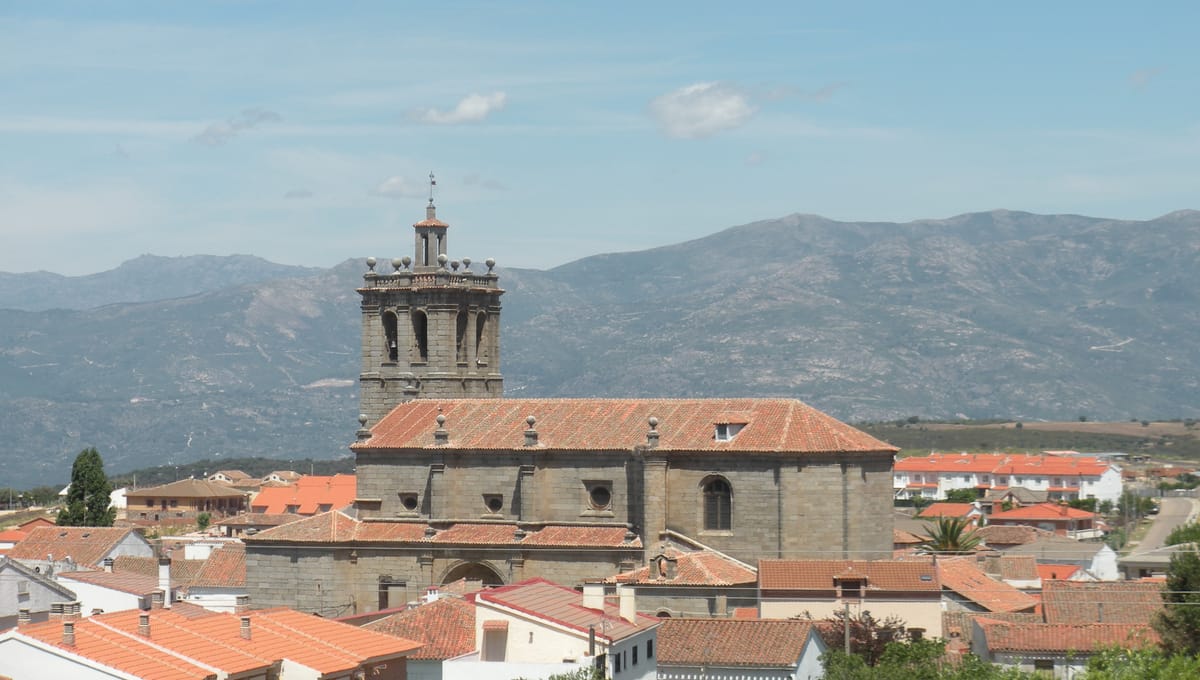
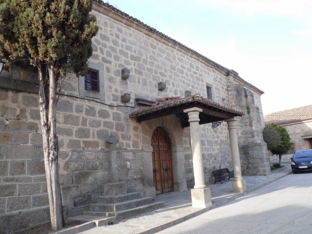
The church of Navamorcuende keeps in its floor the stones of some 235 graves, eleven of them slabs with epitaphs and imagery of death: the most remarkable in the whole Sierra de San Vicente. To be buried inside the church, as close as possible to the high chapel, was the last wish of anyone who could afford it.
Tip
Look down at the floor of the nave: you are walking on the gravestones.
JourGuide
Old town of Navamorcuende
Heritage / Historic centre
Navamorcuende was the seat of the Dávila lordship and marquisate, and it shows in its architecture: houses of dressed stone, a palace, a chapel, fountains and a medieval cistern. The village sits on the slopes of the Las Cruces and La Mesa peaks, at the heart of the range.
Tip
In the church grounds stands a stone cross whose base, so the story goes, was built by reusing the stones of the old pillory.
JourGuide
Snow wells of El Piélago
History / Rural heritage
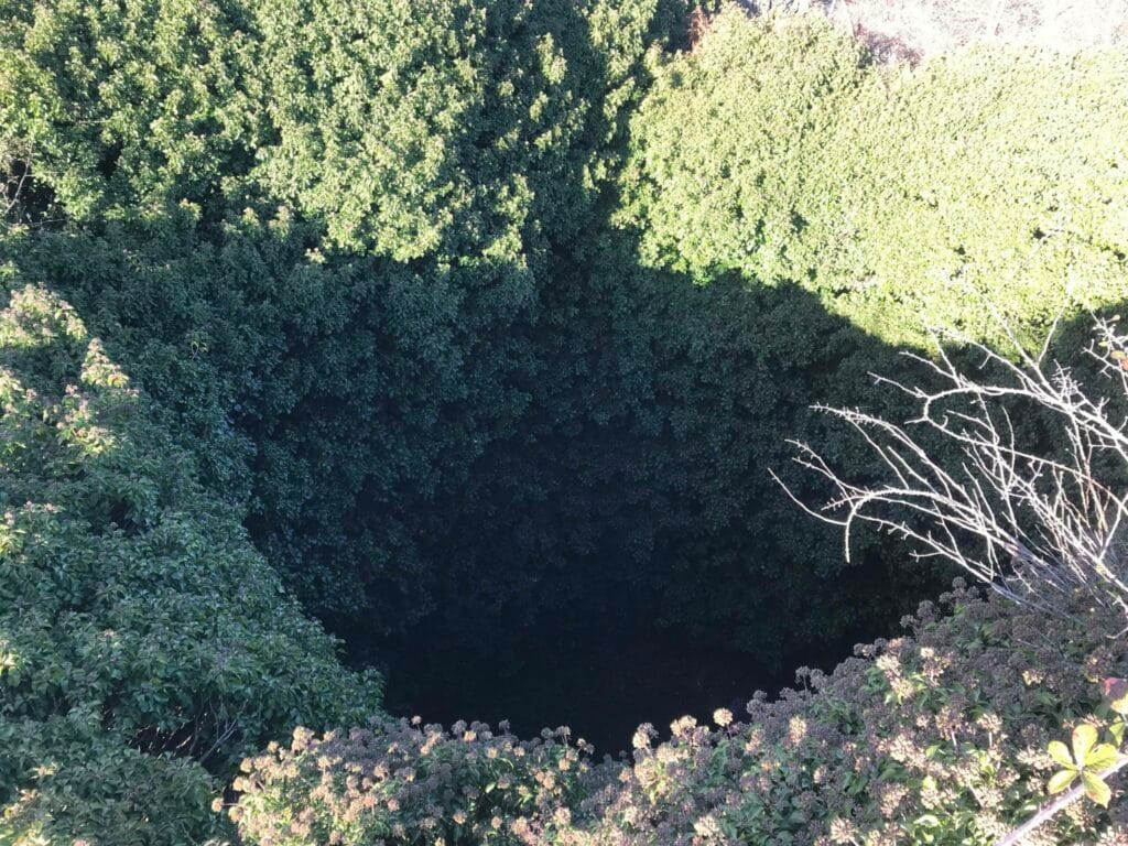
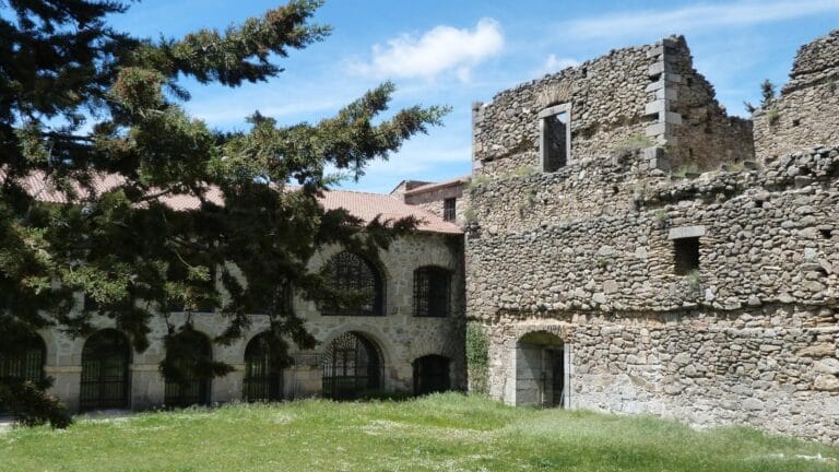
Beside the convent, also 17th century. Snow was packed down here in layers alternating with straw so it could be cut into blocks and provide ice through the hot months.
Tip
One of the most curious corners of the range and easy to miss: look for the structures next to the convent.
JourGuide
El Piélago oak wood
Nature / Woodland
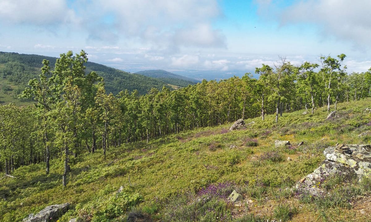
A dense Pyrenean oak wood covering the high ridges and hills. It is the most characteristic forest of the Sierra de San Vicente and gives its name to the whole area.
Tip
In autumn the wood turns coppery: the best season for this stage.
JourGuide
San Vicente Castle
History / Fortress
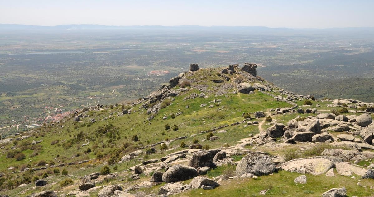
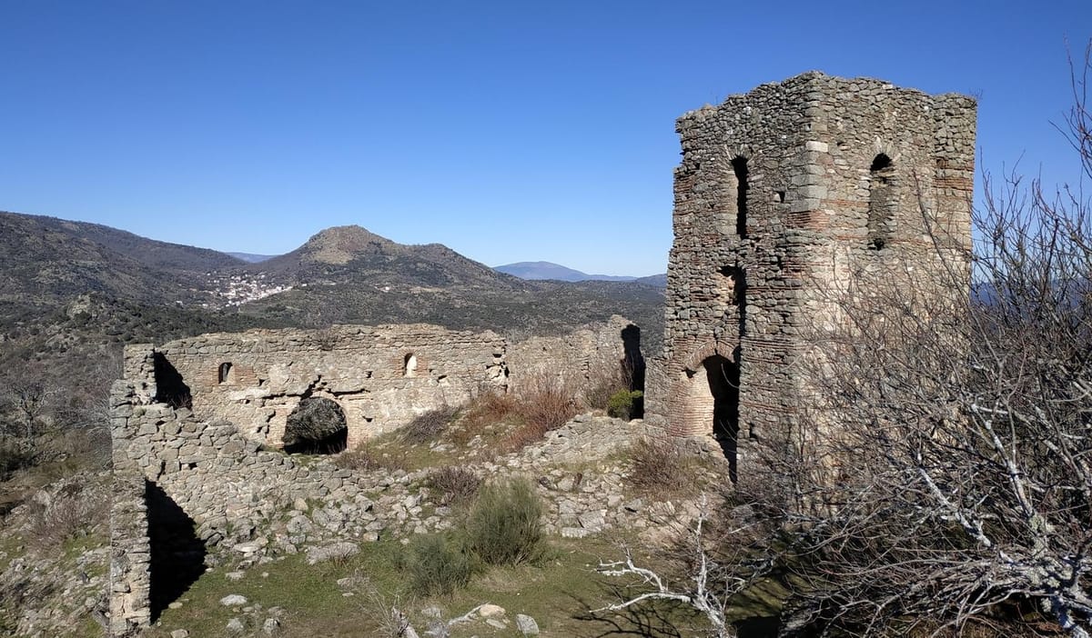
Built over a 10th-century Islamic watchtower guarding the range. In the 13th century Christians reinforced it with a great keep. Local tradition credits its construction to a Muslim leader it calls Miramamolín, hence the castle's other name; the dates do not fit the caliph al-Nasir who bore that nickname, so it is best taken as legend. Alfonso VIII camped here during the siege of Salvatierra. Listed as a Site of Cultural Interest.
Tip
It stands on the Cerro Testigo at 1,321 m: the visual roof of the comarca. On a clear day you can see the whole range, all of Gredos and the Alto Tiétar. The finest viewpoint on the route.
JourGuide
Chapel of the Holy Martyrs
Religion / Legend
Ruins of the best-known sanctuary in the range, above the cave where tradition says Vincent, Sabina and Christeta hid. They were three orphaned siblings from Talavera; the prefect Dacian arrested Vincent for being a Christian and his sisters helped him escape. They fled on horseback through these mountains, which have borne their name ever since. A small cave holds the footprints they are said to have left in the rock. Hagiography says they were caught outside Ávila, but in Hinojosa people say it happened right here, at El Piélago.
Tip
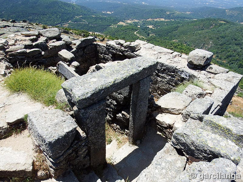
Only the perimeter wall survives, with doorways framed in monoliths, but the building once had three floors, an attic and a bell tower. Look for the cave of the footprints: it is the heart of the legend that names the whole range.
Santiago: the mulberry viewpoint
Nature / Viewpoint
At the top of Santiago stands a mulberry tree, one of those that for generations fed the village's silkworms. From its shade you can see the whole of Hinojosa and the El Piélago range.
Tip
Climb up and find the mulberry. It is no ordinary tree: it was planted to feed the silkworms, and it is still standing when nothing else of that industry remains.
JourGuide
Caños Dorados
Heritage / Fountains
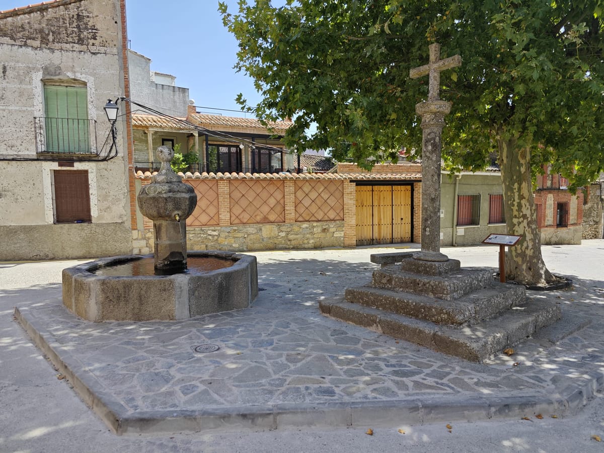
Two historic spouts, part of the village's rural heritage. The 18th-century Caños Dorados stand in the church square; the Caño del Canuto, dated 1690, is some fifty metres away, with a lower and wider basin.
Tip
Two water points right in the village. The Canuto has been there since 1690: over three centuries watering people and livestock.
JourGuide
Church of La Concepción
Religion / Gothic
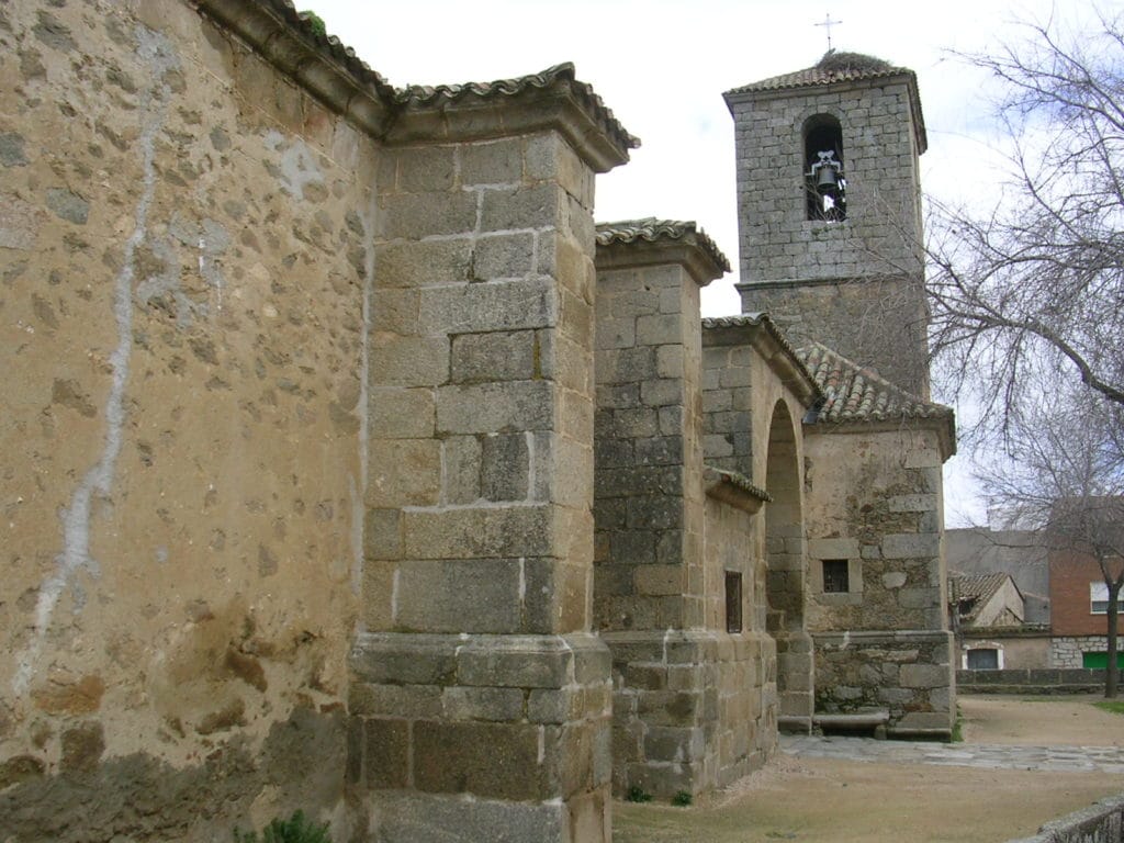
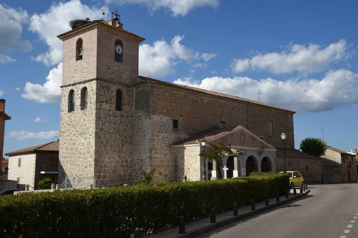
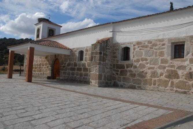
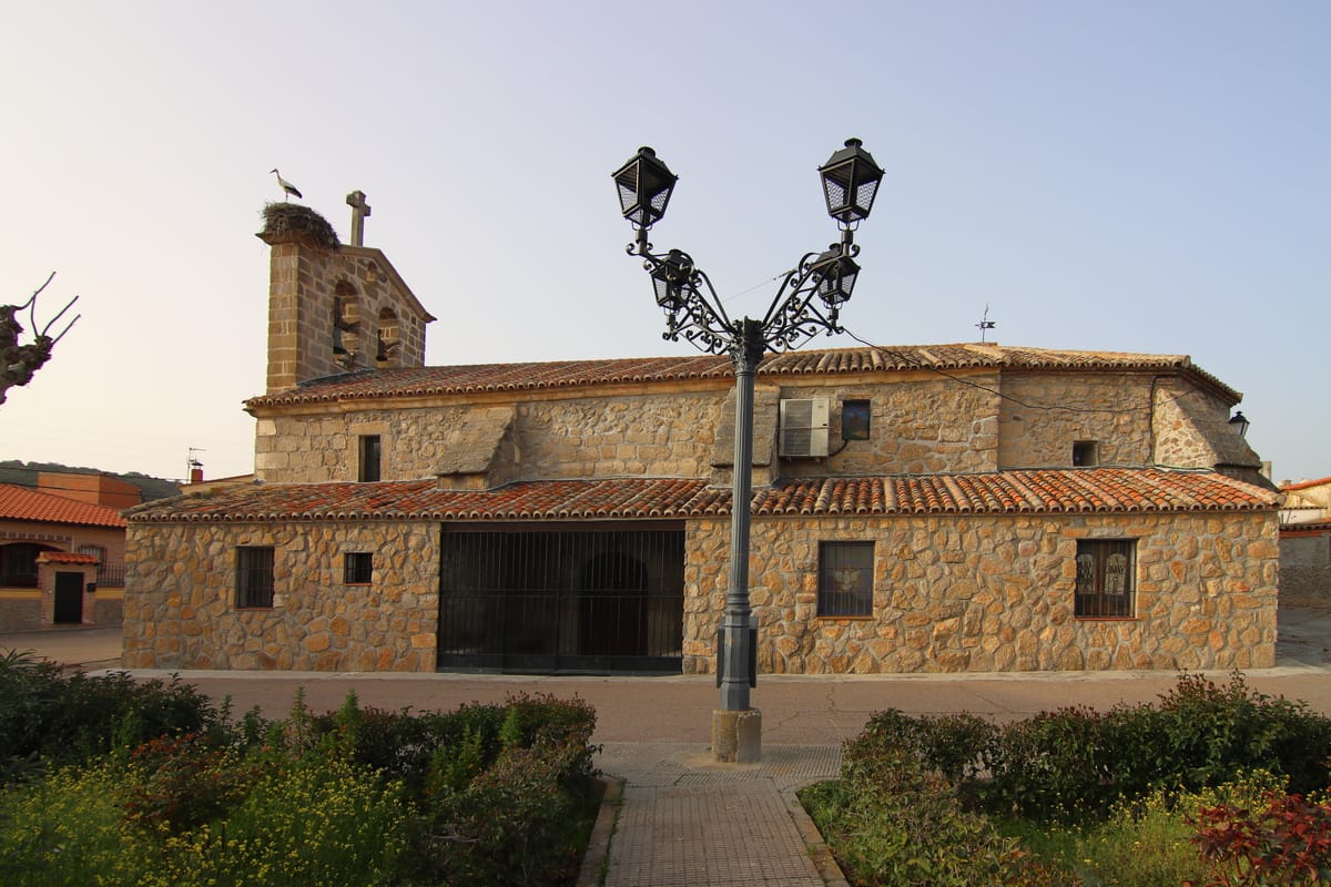
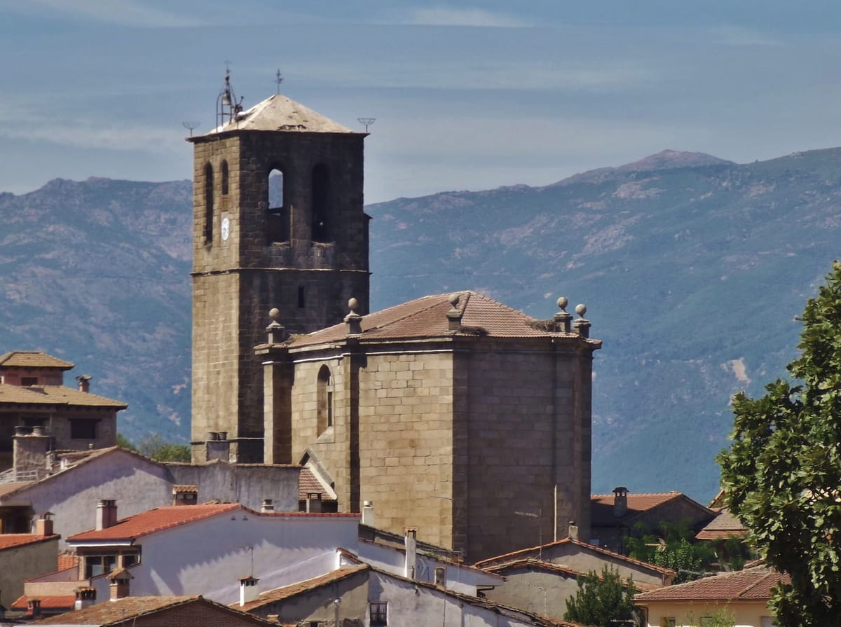
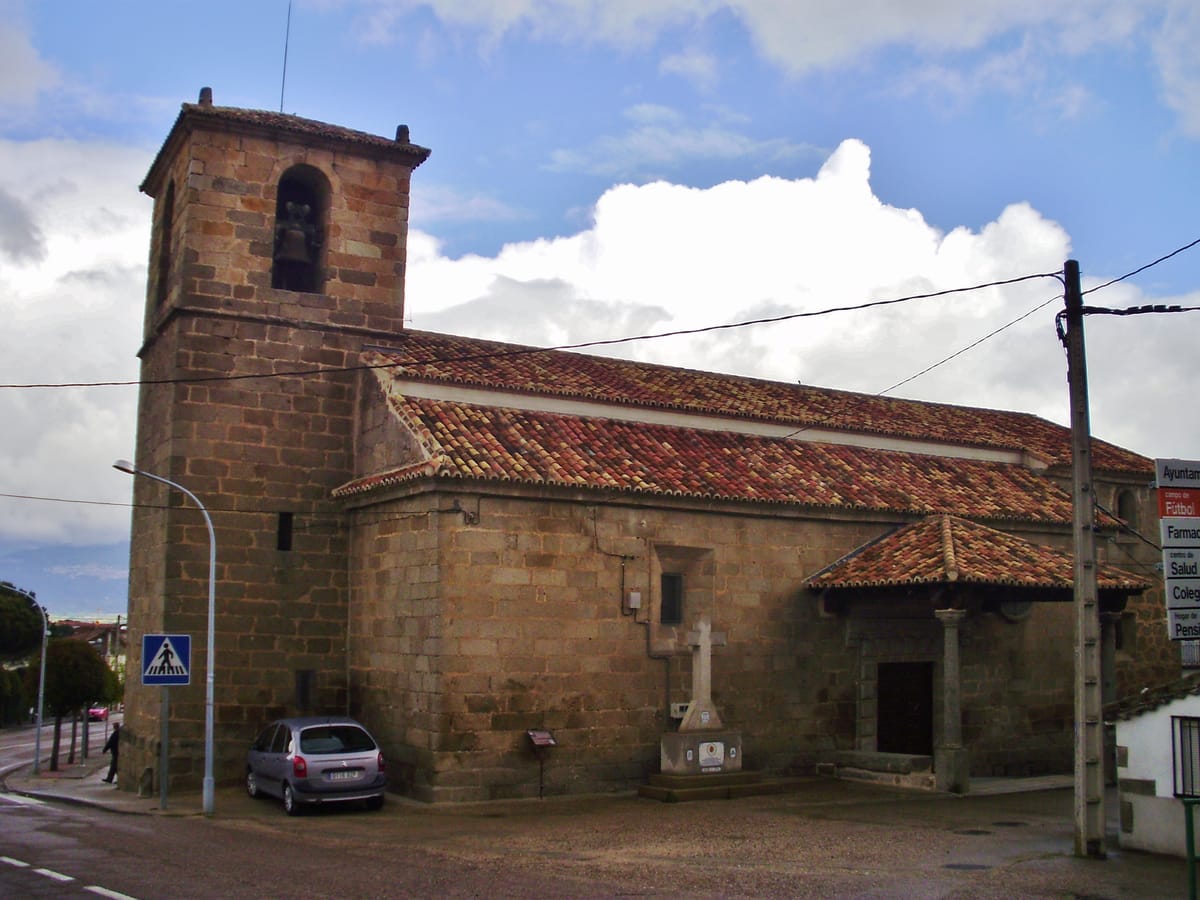
A Gothic single-nave church with a slender bell tower, in rubble and granite ashlar like the others in the range and in the diocese of Ávila these villages once belonged to. Note the stonework and a small dome on pendentives. The main altarpiece is 17th-century: a Baroque Immaculate Conception presides, and above it the carving of the Christ of Hope, the village patron. Some 150 graves lie beneath the nave flagstones.
Tip
Two details people miss: the 16th-century tile panel in the north porch, and two images — Saint Andrew Corsini and Saint Mary Magdalene de' Pazzi — that came from the Carmelite convent of El Piélago, the range you have just walked down from.
JourGuide
Church of San Bartolomé Apóstol
Religion / Late Gothic
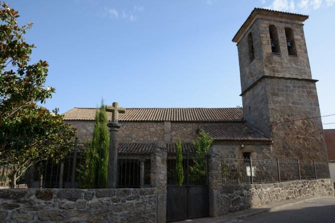
A 16th-century late Gothic church, single-naved, with a presbytery ending in a five-sided apse. Its finest feature is the bell tower of ashlar blocks with round-arched openings. Listed in the Regional Heritage Inventory.
Tip
For centuries this church was a chapel of ease of the Hinojosa de San Vicente parish, served by a curate's deputy: the two villages have always been linked.
Caño Viejo of Marrupe
Heritage / Fountains
On the right bank of the Marrupejo stream, beside a flagstone bridge, stands the Caño Viejo fountain. The second, Caño Nuevo, is larger and has a plain triangular pediment from which the spouts emerge.
Tip
Water point for this stage: fill up here. Beside the fountains you will see the flagstone bridge, and in the village the old farrier's frame.
JourGuide
Marrupejo tower mills
Heritage / Rural heritage
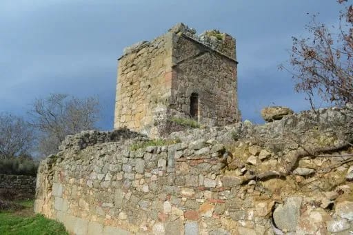
Thirteenth-century tower mills out in open country beside the stream, among the oldest hydraulic remains in the comarca. Marrupe first appears in a document of January 1268, when Alfonso X granted lands 'between Guadierva and Marrupe and Río Lobos and the Berrocal of Talavera'.
Tip
Pass through on 24 August and you catch Saint Bartholomew's day and the Auction of the Bough, the village's signature festival: the stewards, chosen each year, dress the bough that is later auctioned.
JourGuide
Church of La Purísima Concepción
Religion / Renaissance
A Renaissance church of the 16th-18th centuries, single-naved. A voussoired round triumphal arch on Doric columns set against the wall divides off the presbytery, and the apse holds a Baroque altarpiece of polychrome wood.
Tip
Look for the Dávila coat of arms carved outside: proof that the village belonged to the lordship of Navamorcuende.
Torrejón watchtower
History / Watchtower
Remains of a watchtower of Muslim origin on the way to Buenaventura, raised to defend and keep watch over the area. Around Sotillo there were also five mills along the river Guadyerbas.
Tip
Sotillo was granted town status in the late 17th century and raised a wooden pillory to prove it; it was lost in a later fire.
Stage 2 · Sotillo de las Palomas → Pepino
20.9 km6 h2/5
A transition day through the southern villages, among dehesas, holm oaks and dry farmland, with the range always to the north. It holds a surprise: a royal silk factory out in open country.
Elevation profile
↑ 279 m ↓ 396 m
What to see
Natalia Corrochano — CC BY-SA 4.0 (Wikimedia Commons)
La Atalaya watchtower
History / Watchtower
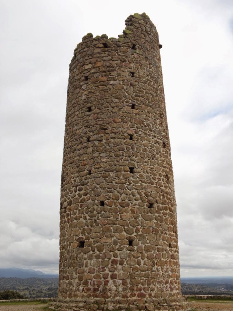
A fifteen-metre tower on the south side of the village, raised around the year 937, under the caliphate of Abd al-Rahman III. Later it served to watch over the transhumant flocks.
Tip
It is the landmark of Segurilla and visible from afar: a useful visual reference for this stretch.
JourGuide
Church of San Juan Bautista
Religion / 16th century
A 16th-century single-naved rubble-masonry church with a semicircular apse and a two-tier bell tower. Listed in the Regional Heritage Inventory. Nearby, the Soledad chapel is the oldest building in the village.
Tip
Segurilla's Stations of the Cross, with 16th and 17th-century crosses, are scattered through the village: you can spot them as you walk.
JourGuide
Church of La Asunción
Religion / 16th century
Completed in 1594 under the patronage of the Marchioness of Deleitosa. Cervera owes its name to the deer that once filled these lands.
Tip
Cervera has three chapels — del Consuelo, del Rosario and del Socorro; the one on the Segurilla road keeps 16th-century Talavera tile dados. The one by the cemetery was used by the French as a shelter.
Royal Silk Factory
History / Industry
A mid-18th-century building set up as an annexe of the Royal Silk Factory of Talavera de la Reina. An unlikely industrial relic in the middle of the sierra, and proof that this whole comarca lived off silk.
Tip
Remember that the silkworms were raised in the houses of these villages and the cocoons went down to Talavera on packhorses: this is where that journey ended.
JourGuide
Church of La Purísima Concepción
Religion / Renaissance
A church of Renaissance origin, already recorded in the 16th century. On the edge of the village stands the small chapel of the Christ of Medinaceli.
Tip
If you have the legs, climb the Cerro del Águila: the best viewpoint around Pepino.
Stage 3 · Pepino → Cardiel de los Montes
25.5 km6.5 h2/5
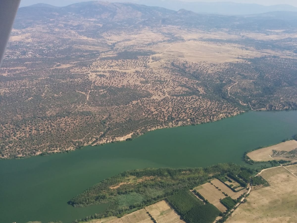
A valley day, with the Cazalegas reservoir as its centrepiece and the main square of San Román de los Montes as its jewel: nearly all the village's heritage is gathered there, including its pillory of justice.
Elevation profile
↑ 258 m ↓ 284 m
What to see
JourGuide
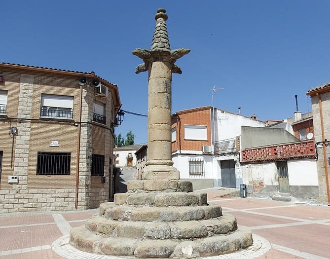
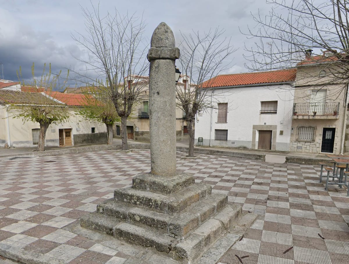
Pillory of justice
History / Renaissance
A symbol of the town's right to administer justice, dated to the 16th century. A fine Renaissance example, crowned by four dogs' heads.
Tip
Look at the four dogs' heads on top: its most distinctive feature, found on no other pillory in the range.
Main square and town hall
Heritage / Square
The town hall dates from the 15th century, built in good stone and topped by an iron turret with a clock. Nearly all the village's heritage gathers around the main square, including the 16th-century church of San Román Mártir.
Tip
A fire destroyed the town and its municipal archive in 1860, so almost no historical records survive: what still stands is the village's entire memory.
JourGuide
San Román castle
History / Fortress
Its origin, like the village's, lies in a Roman camp set on the highest ground. A Celtic settlement is thought to have preceded it, given the three-lobed basin found at the Pozo Blanco.
Tip
Celts, Romans and Castilians on the same hill: rarely is it so clear how layers of history stack up in a small village.
Marostegui — CC BY-SA 4.0 (Wikimedia Commons)
Cazalegas reservoir
Nature / Reservoir
A sheet of water on the river Alberche, a swimming and resting spot right by the trail.
Tip
The Cazalegas campsite marks the end of an official section and is one of the few places to stay along the valley stretch.
Malopez 21 — CC BY-SA 4.0 (Wikimedia Commons)
Church of Santiago Apóstol
Religion / Gothic
A 15th-16th century church with a Gothic apse decorated with stone balls and a fine wooden coffered ceiling inside. The village also has its 16th-century Gothic-Renaissance pillory, bearing the Dávila coat of arms.
Tip
Look at the balls on the apse: a decorative trait very typical of late Castilian Gothic.
Stage 4 · Cardiel de los Montes → Pelahustán
22 km6 h2/5
The stage of the boar sculptures and the castles. Castillo de Bayuela is one of the most interesting places in the comarca, with its hilltop castle, its Vetton sculptures and a great pillory of justice in the square.
Elevation profile
↑ 548 m ↓ 317 m
What to see
JourGuide
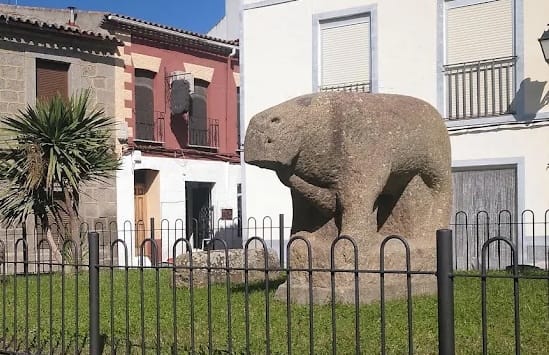
Vetton boar sculptures
History / Pre-Roman sculpture
Zoomorphic Vetton carvings, evidence of the pre-Roman peoples who lived in the range. They are kept in the village, at the foot of the hill where the hillfort its people came down from once stood.
Tip
They are among the few verracos in the comarca you can see up close: look at how the stone has worn.
JourGuide
Castillo de Bayuela
History / Fortress
The castle that gives the village its name stands on the Cerro del Castillo, over an earlier hillfort; in the 1480s the inhabitants came down from there to settle in a nearby hamlet called Pajares. The place name looks Muslim in origin: a fusion of 'Castil' and 'Valley of Allah', the valley of blessings; another reading makes 'Bayuela' a diminutive of 'bayal', flax field, because flax was grown here.
Tip
Careful when searching the map: the castle and the village share a name. The village's great pillory of justice also stands in the town hall square.
JourGuide
Molinos bridge
Heritage / Bridge
A bridge crossed on the way down to Garciotún, on a narrow and technical stretch of the trail.
Tip
The metres before and after the bridge are the most technical of the day: take the descent slowly.
The Luminarias and the Moharraches
Culture / Traditions
On 29 and 30 November, for Saint Andrew, the village lights great bonfires in the streets — the Luminarias — as the church bells ring. And out come the Moharraches, a winter masquerade revived by the villagers after years of being banned: strange hidden beings who rattle cowbells and frighten the children, embodying the struggle between the darkness of the mountain winter and the light that the solstice will bring.
Tip
Those same days bring the 'San Andrés' craft fair, one of the oldest in the comarca. And in February, the Sunday before Ash Wednesday, comes the Fat Chorizo Feast: the whole village heads into the countryside to grill chorizo.
Silk in Castillo de Bayuela
Culture / Crafts
Castillo de Bayuela was another of the villages where silkworms were raised, along with Hinojosa and El Real de San Vicente. It was not one village's quirk: it was a whole regional industry, sustained house by house and gone by the 1960s. Its final destination lay a day's walk away: the Royal Silk Factory of Cervera de los Montes, an annexe of the one in Talavera de la Reina.
Tip
If you walk the full route, notice how many villages share this story. The sierra did not have a factory: the sierra was the factory.
JourGuide
Church of Santa María Magdalena
Religion / Late Gothic
A late Gothic building of 1485, with a doorway decorated with pearl motifs and carved capitals. On the local streams stand the Pilones bridge and a Roman bridge, examples of the comarca's traditional engineering.
Tip
Look at the pearl motifs on the doorway: a decorative device that recurs in the late Gothic of this area.
Malopez 21 — CC BY-SA 4.0 (Wikimedia Commons)
Church of Nuestra Señora de la Asunción
Religion / 16th century
Raised in the early 16th century, with walls braced by buttresses and a rectangular nave divided into bays. At Los Carrascales, adjoining the cemetery, stands the 18th-century chapel of Our Lady of the Conception.
Tip
The village owes its name to a medieval knight, Nuño Gómez, a settler who arrived in the 12th century. Before becoming a town it lay under Castillo de Bayuela and passed through the lordships of Ruy López de Dávalos, Álvaro de Luna, Juana Pimentel, the Mendozas and the marquises of Montesclaros.
JourGuide
Pelahustán pillory
History / Pillory of justice
Put up on 18 May 1635, the day Felipe IV granted Pelahustán town status and, with it, the right to administer its own justice. Late Gothic in style, with a circular shaft topped by a pinecone finial on a five-step staircase. It is one of the pillories that punctuate the Viriato Trail.
Tip
Each pillory on the route marks the moment its village stopped depending on another. This one carries the exact date of that independence.
Stage 5 · Pelahustán → Almendral de la Cañada
25.8 km6.5 h3/5
The queen stage of the sierra: historic drove roads, the Carmelite convent of El Piélago, the largest chestnut wood in Castilla-La Mancha and the roof of the route at 1,338 metres.
Elevation profile
↑ 846 m ↓ 867 m
What to see
StartJourGuide
Parish church of San Andrés
Religion / Renaissance
The apse and tower date from the early 16th century; the nave was raised between 1560 and 1576. Its floor also keeps original graves, as in Navamorcuende and Hinojosa. Nearby stands the 17th-18th century chapel of San Roque.
Tip
Look at the contrast between the apse and tower, from the early 16th century, and the nave raised half a century later: two separate building campaigns.
Cañada Real Leonesa Oriental
Heritage / Drove road
A historic transhumance drove road that the trail follows for kilometres, climbing gently among pastures and fields. The merino flocks came down this way towards the southern dehesas.
Tip
You are walking a centuries-old motorway: by medieval law these drove roads are ninety varas wide.
El Real de San Vicente chestnut wood
Nature / Woodland
The largest chestnut wood in Castilla-La Mancha, on the slope above the village.
Tip
October and November are the best time of year: the ground fills with husks and the light among the chestnuts is worth the trip.
One of the most visited places in the range. A 17th-century convent of granite ashlar and rubble masonry where Carmelite friars led a contemplative life. The living quarters have been restored; the church fell into ruin when its vaults collapsed.
Tip
The descent to the convent is the one stretch where GR waymarking gets thin: keep an eye on the markers.
Alto de los Pelados
Nature / Summit
At about 1,332 metres, the highest point on the route and its second pass. Nearby, the church of Santa Catalina in El Real is a listed Site of Cultural Interest, and the Veneruelas fountain keeps its three spouts beside the old washing place.
Tip
The climb is the hardest stretch of the day: save some energy for it.
Silk in El Real de San Vicente
Culture / Crafts
Silkworms were raised here too. For generations the whole Sierra de San Vicente worked as a factory spread across its houses: mulberry trees were planted in the meadows, beside the springs and along field boundaries, and in every home a whole room — the troje — was given over to worms fed on that leaf. Sacks of cocoons were gathered daily and carried down to Talavera, thirty kilometres away, on packhorses.
Tip
Look for the old mulberry trees along field boundaries and near the springs: they were planted to feed the silkworms and are still standing when nothing else of that industry remains.
JourGuide
Ruins of San Salvador church
History / Ruins
The ruins of the old church are the village's main draw, along with the chapel of San Sebastián. Almendral owes its name to the Cañada Real passing through, attested by several 18th-century watering troughs.
Tip
Look for the drove-road troughs: they have stood there since the 18th century, when the flocks came through. Almendral is also the birthplace of Blessed Ana de Almendral.
Stage 6 · Almendral de la Cañada → Navamorcuende
24.7 km7 h2/5
The stage that closes Viriathus's loop, along the northern face of the range. Three villages with Renaissance churches, a Roman bridge over a gorge, and the return to the starting point.
Elevation profile
↑ 499 m ↓ 363 m
What to see
Asqueladd — CC BY-SA 3.0 (Wikimedia Commons)
Church of Santa María de la Oliva
Religion / 16th century
A 16th-century building with designs attributed to Pedro de Tolosa, master builder at El Escorial. The village also keeps historic wells, some Roman, which gave their names to its old quarters.
Tip
The names of the old quarters come from their wells: a different way of reading a village.
JourGuide
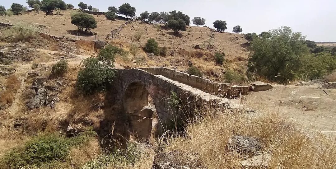
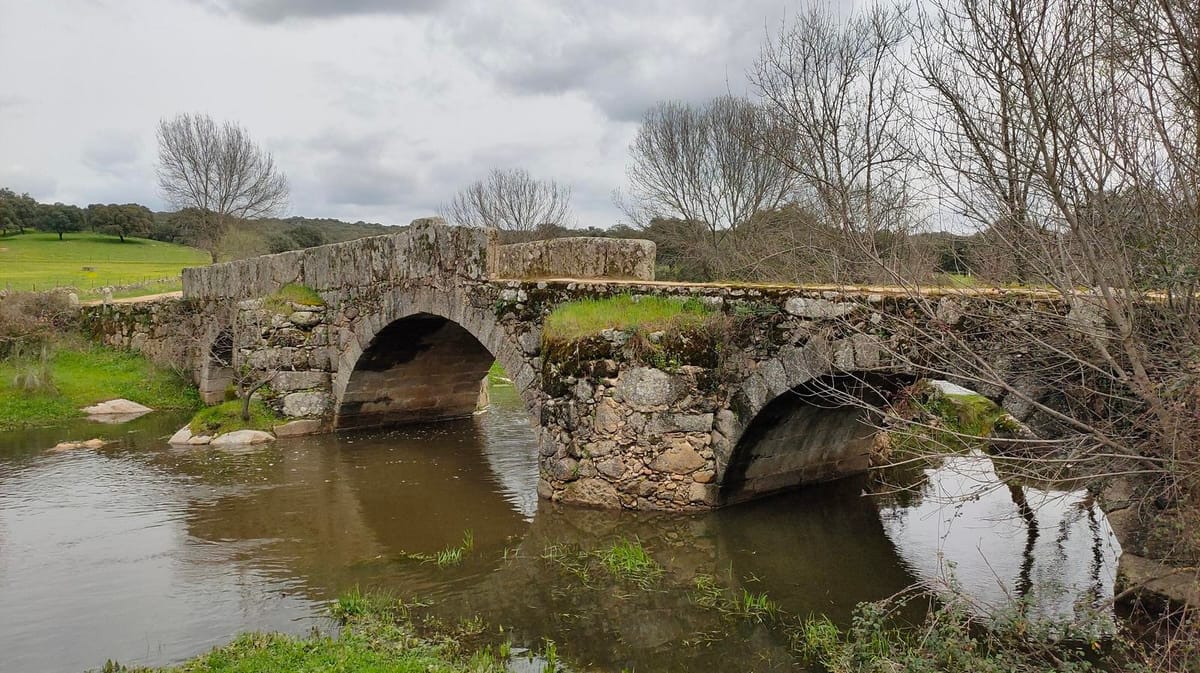
Roman bridge over the Torinas gorge
Heritage / Bridge
A fine three-arched Roman bridge over the Torinas gorge, an example of Roman engineering still crossed on foot, on the way between La Iglesuela del Tiétar and Sartajada.
Tip
Crossing it means treading a structure that has stood for nearly two thousand years: stop and look at it from the streambed.
JourGuide
Church of Santiago Apóstol
Religion / Gothic-Renaissance
A building of 1510 that keeps the noble coats of arms of the Dávila family, another link in the chain that runs across the whole range.
Tip
Sartajada was historically known for its handmade pottery: ask in the village whether any workshop is still active.
Asqueladd — CC BY-SA 3.0 (Wikimedia Commons)
Church of La Santa Cruz
Religion / Renaissance
A 16th-century Renaissance church with three naves and a polygonal chancel, where the Dávila coat of arms appears once more. Pedro de Tolosa took part in its design, the same El Escorial master builder whose hand you have seen in Pelahustán and La Iglesuela. The chapels of Buen Suceso and San Sebastián, the latter on a hill outside the village, are also worth noting.
Tip
The route's third church touched by Pedro de Tolosa: it closes that circle too.
Back to Navamorcuende
Landmark / Finish
The loop closes. You return to the starting point after 141 kilometres and nineteen villages, having gone right round the Sierra de San Vicente by the same looping route that, legend says, Viriathus used to throw off the Roman legions.
Tip
When Viriathus was murdered by his own men in exchange for a reward, the consul Quintus Servilius Caepio ordered the traitors executed with a line tradition has kept: 'Rome does not pay traitors'.
Every stage is in the app, with its map and elevation profile, the points of interest with their tip, and the option to save them for when there is no signal.
 JourGuide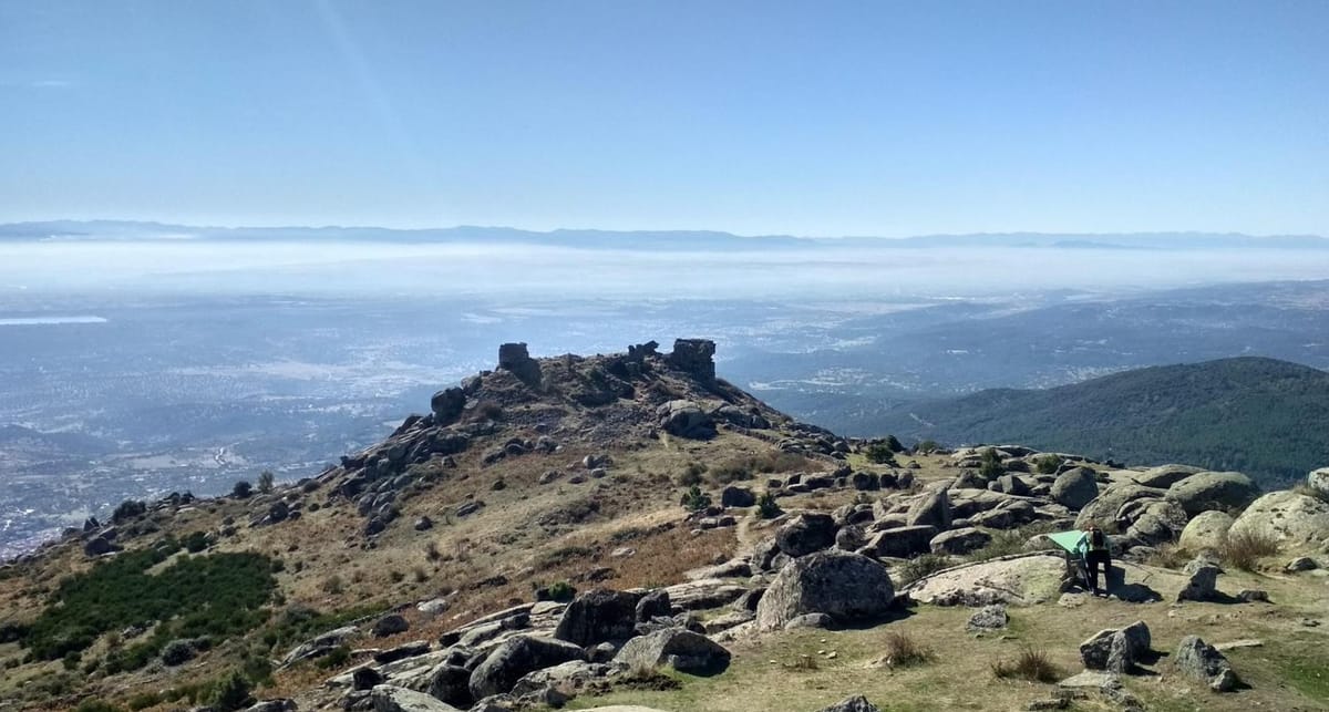
 StartAsqueladd — CC BY-SA 3.0 (Wikimedia Commons)