Home › Long-distance routes › Bear Trail › 1 day by bike · downhill Entrago → Tuñón

Senda del OsoOne dayBy bikeJourGuide

Senda del Oso

Entrago → Tuñón

Twenty-one kilometres of continuous descent from Entrago to Tuñón along the course of the old mining railway. More than thirty lit tunnels, limestone gorges where the walls almost touch and the enclosure where Molina the Cantabrian brown bear lives. It is flat, traffic-free and smooth underfoot: the bike route par excellence to do with children in Asturias, and one of the most ridden greenways in Spain. Notes: the route runs downhill from Entrago to Tuñón, so you need to sort out the return. Local rental firms offer a pick-up service, which is the comfortable way to do it, along with child seats, trailers and small bikes for children. There are over thirty tunnels: they are lit, but the temperature drops sharply inside, so bring a long-sleeved layer even in hot weather. On some stretches the path shares the canyon's scarce space with the road: take care at those points. Dogs are welcome. Check the state of the route before setting out.

21 km1 stagesModerate+293 m / −579 mBest season: Todo el año. Es una ruta de valle a baja altitud, así que en verano es fresca por los túneles y los bosques de ribera, y en invierno sigue siendo practicable. El otoño en los bosques atlánticos es el mejor momento.

Stage 1 · Entrago → Tuñón

21 km3 h1/5

A bike descent from Entrago to Tuñón along the greenway, past the Trubia gorges and the bear enclosure.

Elevation profile

↑ 293 m ↓ 579 m

What to see

Start

Entrago

Practical / Start

The highest point of the route, at 426 metres, in the district of Teverga. From here it is all downhill: twenty-one kilometres of gentle descent to Tuñón.

Tip

Start here and not the other way round: in this direction the gradient works for you, with nearly six hundred metres of drop spread out. Several rental firms drive you up with the bikes and collect you at the bottom.
The mining railway tunnels

History / Engineering

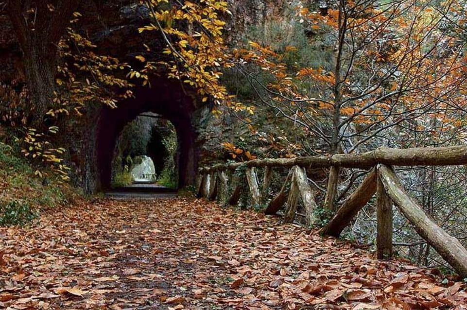
More than thirty tunnels cut into the rock in the 19th century so the coal train could cross the ranges. Today they are lit and you ride through them one after another, along the very line the ore came down.

Tip

Inside, the temperature drops sharply: bring a long-sleeved layer even on a hot day. Children usually love them, but warn them before the first one.

The Trubia river gorges

Nature / Karst canyon

One of the most spectacular geological formations in Asturias: the limestone walls almost touch, forming a karst canyon that the path crosses at its base, right where the river has carved the passage over thousands of years.

Tip

It is the most photographed spot on the route. Stop for a moment: by bike you pass through in a minute, and it is worth looking up.

The bear enclosure

Nature / Conservation

Run by the Asturian Bear Foundation, it is the only place where a Cantabrian brown bear can be seen in semi-freedom. Molina lives here now, having arrived after falling on the mountainside. Before her it was home to Paca and Tola, two orphaned cubs rescued in 1989 from a poacher who had killed their mother: Tola died in 2018 and Paca in April 2025. Both became a symbol of bear conservation in Asturias.

Tip

You watch from a free viewing point right by the path. Keep quiet: noise makes the animal withdraw, and whoever comes behind you will not see her.

Villanueva and its Roman bridge

Heritage / Old town

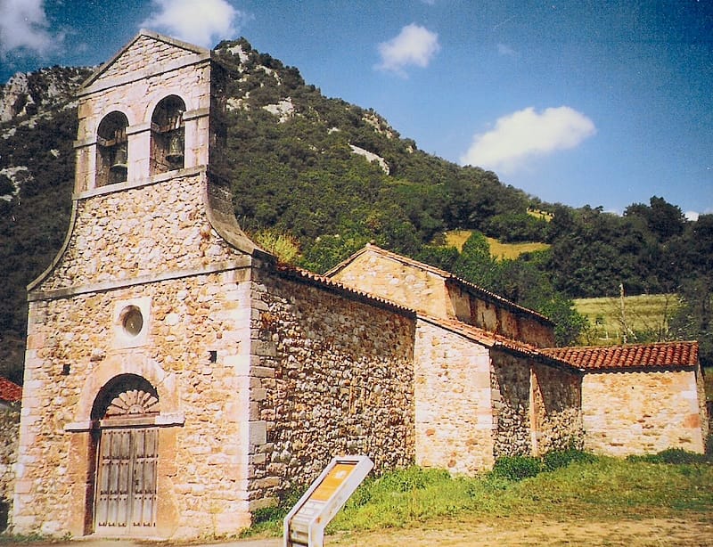
The path runs through Villanueva, seat of the Santo Adriano district, with its so-called Roman bridge — medieval in origin, despite the name — and the parish church of San Romano on the outskirts. Shortly after you cross the great El Sabil bridge over the road.

Tip

It is one of those villages you pedal through without noticing. Slow down for a moment: the bridge and the church are worth the two minutes.

TuñónJaume Meneses — CC BY-SA 2.0 (Wikimedia Commons)

Tuñón

Practical / Finish

The end of the descent, at 140 metres. Several of the bike rental centres are here, which is where the day usually ends and where the return is arranged.

Tip

If you rented with a pick-up service, this is the point. And if you still have energy, the greenway continues: the full itinerary adds up to some 36 kilometres with the Teverga branch.

Every stage is in the app, with its map and elevation profile, the points of interest with their tip, and the option to save them for when there is no signal.

Open in JourGuide