Home › Long-distance routes › Ordesa Valley › 1 day · demanding loop

Senda de los Cazadores and Faja de PelayOne dayOn footManu Sánchez — CC BY-SA 4.0 (Wikimedia Commons)

Senda de los Cazadores and Faja de Pelay

Pradera de Ordesa

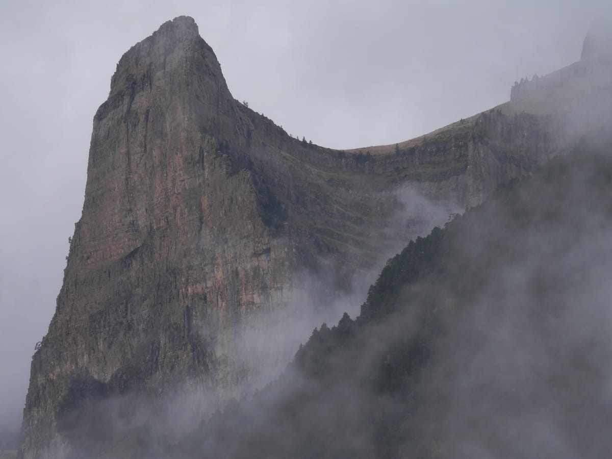
The same beauty, seen from above. The Senda de los Cazadores climbs steeply to close on two thousand metres, and from there the Faja de Pelay runs along the valley at mid-height on a natural ledge, with the walls of Ordesa opposite and the Arazas a thousand metres below. It closes by dropping through the Cola de Caballo and the Soaso path. Twenty-one kilometres and over a thousand metres of ascent: twice as demanding as the classic route, and not the first one to do in the valley. Important notes. The valley has a limit of 1,800 people at any one time: once that number is reached the bus service is suspended, and holding a ticket does not entitle you to travel if that happens, so in August it pays to arrive early. In the restricted season you go up by bus from Torla, with departures every 15 to 20 minutes and a journey of about twenty minutes; out of season you can drive up to the Pradera. Dogs must be kept on a lead at all times and, on the bus, travel in the hold inside a carrier, with a fee and limited places. There are no bins on the paths, deliberately: everything you bring in leaves with you. Do not trust the stream water, which may be contaminated by livestock: carry what you will need. Inside the Park it is forbidden to light fires, to collect plants, animals, minerals or rocks, and to cycle on restricted paths. Check current timetables and conditions before setting out.

21.2 km1 stagesModerate+1064 m / −1069 mBest season: De abril a octubre. El otoño en los hayedos es espectacular; en verano hay calor y masificación. En invierno el acceso y la propia ruta cambian por completo.Circular

Stage 1 · Torla-Ordesa → Torla-Ordesa

21.2 km8 h5/5

A loop from the Pradera: up the Senda de los Cazadores, across the Faja de Pelay at mid-height, and down through the Soaso cirque and the Cola de Caballo.

Elevation profile

↑ 1064 m ↓ 1069 m

What to see

Pradera de OrdesaStartEigernordwand — CC BY-SA 3.0 (Wikimedia Commons)

Pradera de Ordesa

Practical / Access

The starting point of almost every route in the valley, at around 1,300 metres. In the restricted season you arrive by bus from Torla; out of season you can drive up, though spaces are limited.

Tip

Set off before 8:30: you will walk in peace, find parking in Torla and see the Gradas de Soaso without crowds. Check the bus timetable at ordesabus.com before you go.
Senda de los CazadoresManuel Velazquez — CC BY 3.0 (Wikimedia Commons)

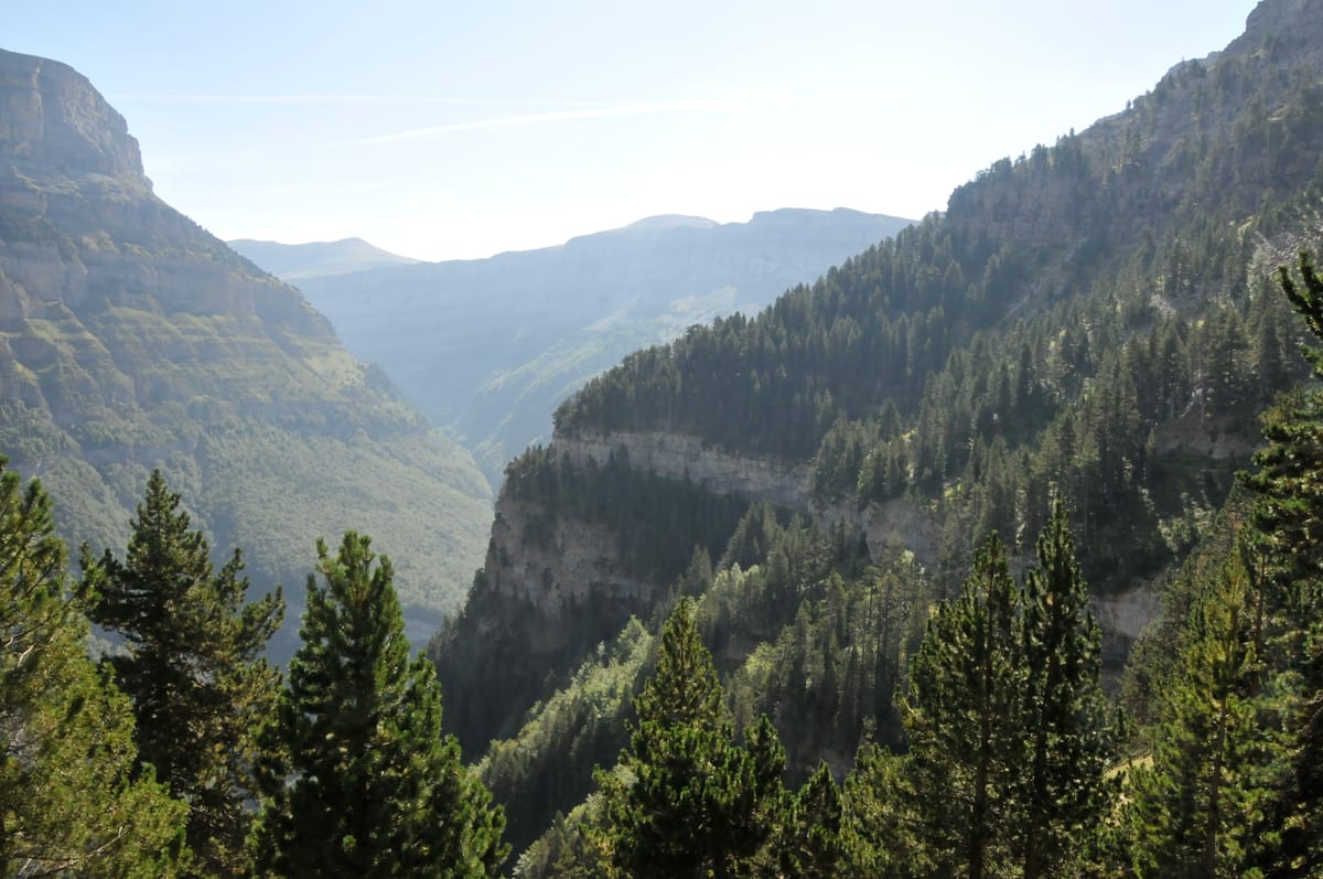
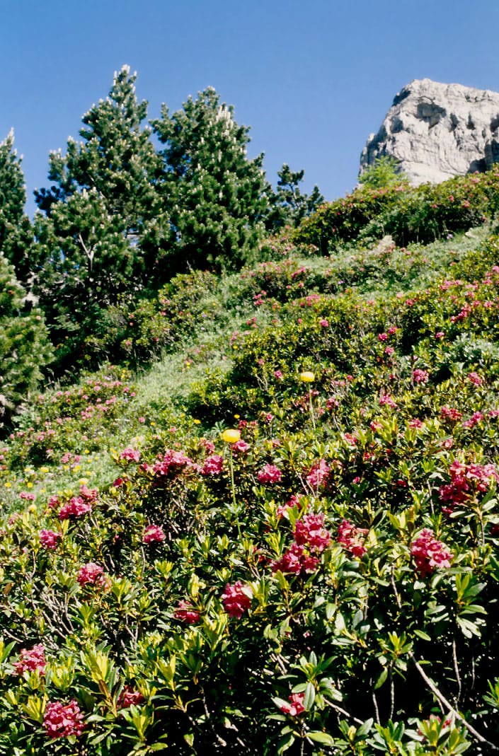
Senda de los Cazadores

Nature / Ascent

The hard climb: nearly seven hundred metres of ascent in little over two kilometres, up a steep path that scales the hillside from the valley floor to close on two thousand metres.

Tip

It is the toughest part of the day and it comes first: pace yourself from the very first step. If you have doubts about your fitness, take the Cola de Caballo variant instead.

Faja de PelayLBM1948 — CC BY-SA 4.0 (Wikimedia Commons)

Faja de Pelay

Nature / Rock ledge

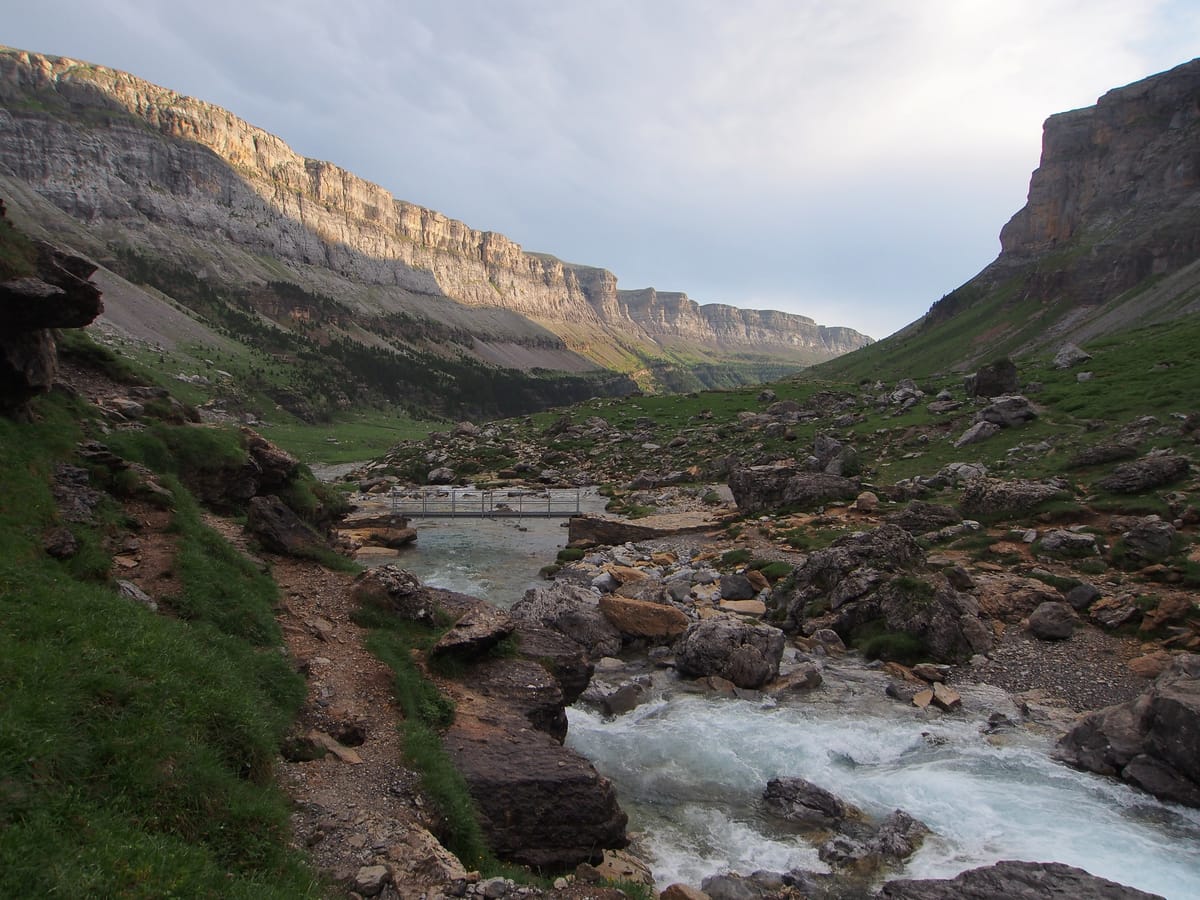
A natural ledge running along the valley at mid-height, almost level, with the walls of Ordesa opposite and the river Arazas a thousand metres below. The fajas are horizontal shelves carved into the rock by erosion: here you walk along one for kilometres.

Tip

This is the reason for climbing the Cazadores: the whole valley at your feet for nearly the entire stretch. Save some phone battery.

Circo de Soasorheins — CC BY 3.0 (Wikimedia Commons)

Circo de Soaso

Nature / Glacial cirque

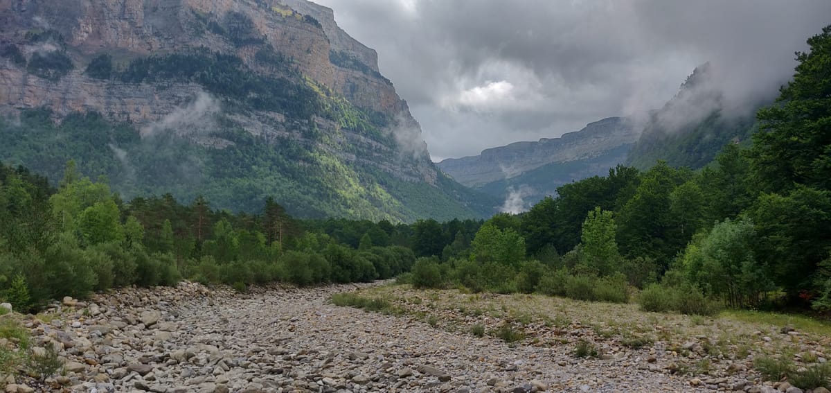
Once the Gradas end the trees disappear and you enter the Soaso cirque, a U-shaped glacial valley ringed by vertical walls and peaks above three thousand metres. The scale of the place imposes itself: you feel tiny.

Tip

The stretch through the cirque is flat, a relief for the legs after the climb. Far ahead you will start to make out a vertical white streak: that is your destination.

Cola de Caballo waterfallNatalia Mostova — CC BY-SA 4.0 (Wikimedia Commons)

Cola de Caballo waterfall

Nature / Waterfall

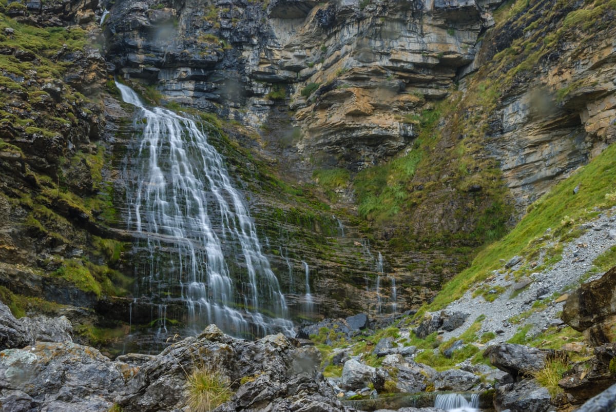
The destination, at 1,800 metres. The water slides down a wall of polished rock and spreads into a white fan that recalls a horse's tail: hence the name.

Tip

From here some carry on up towards the Góriz refuge intending to climb Monte Perdido, but that is another route entirely. The walk back to the Pradera takes about two and a half hours.

Beech woodDiego Lavin Marin — CC BY-SA 4.0 (Wikimedia Commons)

Beech wood

Nature / Beech forest

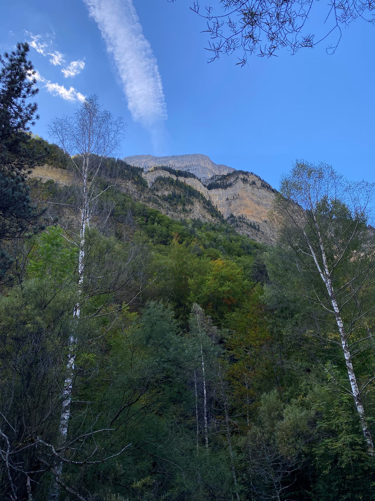
A centuries-old beech wood that gives shade and coolness on hot days and carpets the ground with dry leaves in autumn. One of the most peaceful stretches of the valley.

Tip

In autumn this wood justifies the trip on its own. And in summer it is the only reliable shade over much of the route.

Every stage is in the app, with its map and elevation profile, the points of interest with their tip, and the option to save them for when there is no signal.

Open in JourGuide

Other ways to do it