Home › Long-distance routes › Alquézar Walkways › Half day · circular from Alquézar

Vero WalkwaysOne dayOn footMcBodes — CC BY 3.0 (Wikimedia Commons)

Vero Walkways

Alquézar

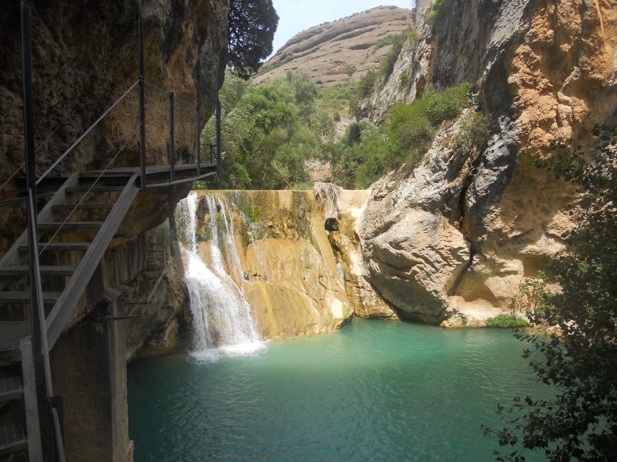
A short but intense loop: seven flights of walkways drop between the Castibián crag and the collegiate walls down to the Vero, then the path skirts the canyon on metal walkways bolted to the rock, past pools, tunnels and karst formations. About 180 metres of ascent and two hours on the clock, leaving the afternoon free for the medieval quarter. Note: the walkway floor gets slippery when wet, so wear shoes with good grip and hold the handrails on the exposed sections. Access to the walkways is ticketed: check current prices and opening hours at the tourist office or the official website. The route runs one way only. It is not suitable for anyone with a strong fear of heights: there are four walkways and the last, some 200 metres long, is the most striking — though there is an emergency exit just before it if you would rather not cross. The initial descent through the Barranco de la Fuente is the most technical stretch and it is slippery. The route is very exposed to the sun: avoid the middle of the day in summer and carry water. In bad weather access can be closed without notice. The access fee includes assistance insurance and an incident phone line.

3 km1 stagesModerate+182 m / −191 mBest season: Primavera y otoño. En verano hace calor en el cañón y el pueblo se llena; en invierno las pasarelas pueden amanecer heladas.Circular

Stage 1 · Alquézar → Alquézar

3 km2 h2/5

Down from the village to the bed of the Vero along the walkways, through the bottom of the canyon and back to Alquézar via the viewpoint.

Elevation profile

↑ 182 m ↓ 191 m

What to see

Collegiate Church of Santa María la MayorStartEnric — CC BY-SA 4.0 (Wikimedia Commons)

Collegiate Church of Santa María la Mayor

Religion / Fortified church

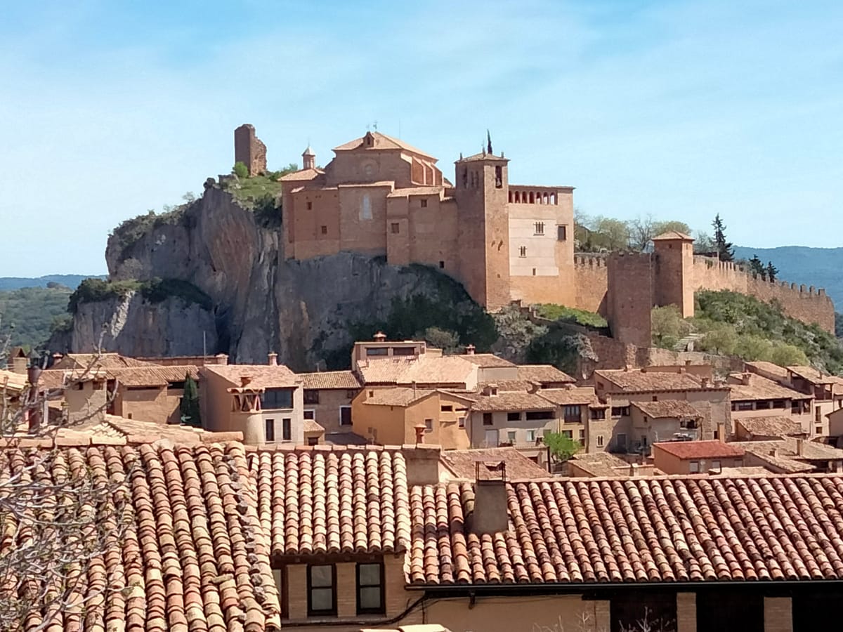
It crowns the hill over the remains of the Moorish castle that gave the village its name: al-qasr, the fortress. Rebuilt in the 16th century over the earlier Romanesque church, it keeps chapels such as San Nicostrato, carved into the rock and raised in 1638, and the Virgen del Rosario. Its cloister holds 15th and 16th-century murals on the childhood and Passion of Christ, and a museum of sacred art.

Tip

The ramp up is harder than it looks. For a guided visit, call ahead or ask at the tourist office beside the square.
Plaza Rafael Ayerbe and the callizos

Heritage / Old town

The old main square, for centuries the site of fairs and markets, is still the village meeting point. Around it, the old town — a listed Historic-Artistic Site — needs no map: cobbled streets, stone houses with wooden balconies, and the callizos, covered passageways linking one house to another.

Tip

Look for the callizos: they are Alquézar's signature and you won't find them in other villages.

Barranco de la FuenteEnric — CC BY-SA 4.0 (Wikimedia Commons)

Barranco de la Fuente

Nature / Ravine

The descent starts here, hemmed in by limestone walls, down seven flights of walkways between the Castibián crag and the collegiate walls to the bed of the Vero.

Tip

These are the steepest sections of the route and where the handrail is most welcome.

Picamartillo cave

Nature / Karst formation

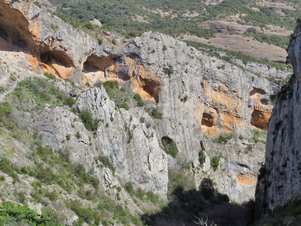
A strange hollow carved by water erosion in the canyon wall, one of the most curious formations on the whole route.

Tip

It is one of those places where you grasp at a glance how water has been eating away the rock for millennia.

Old hydroelectric plant

History / Industry

Built between 1909 and 1913 to supply the area with electricity. It is disused today, but its structure still stands and forms part of the route.

Tip

Along the path there are weirs, mills and bridges showing how the Vero's water has been harnessed since medieval times. The plant is the most recent link in that chain.

Sonrisa al Viento viewpointEnric — CC BY-SA 4.0 (Wikimedia Commons)

Sonrisa al Viento viewpoint

Nature / Viewpoint

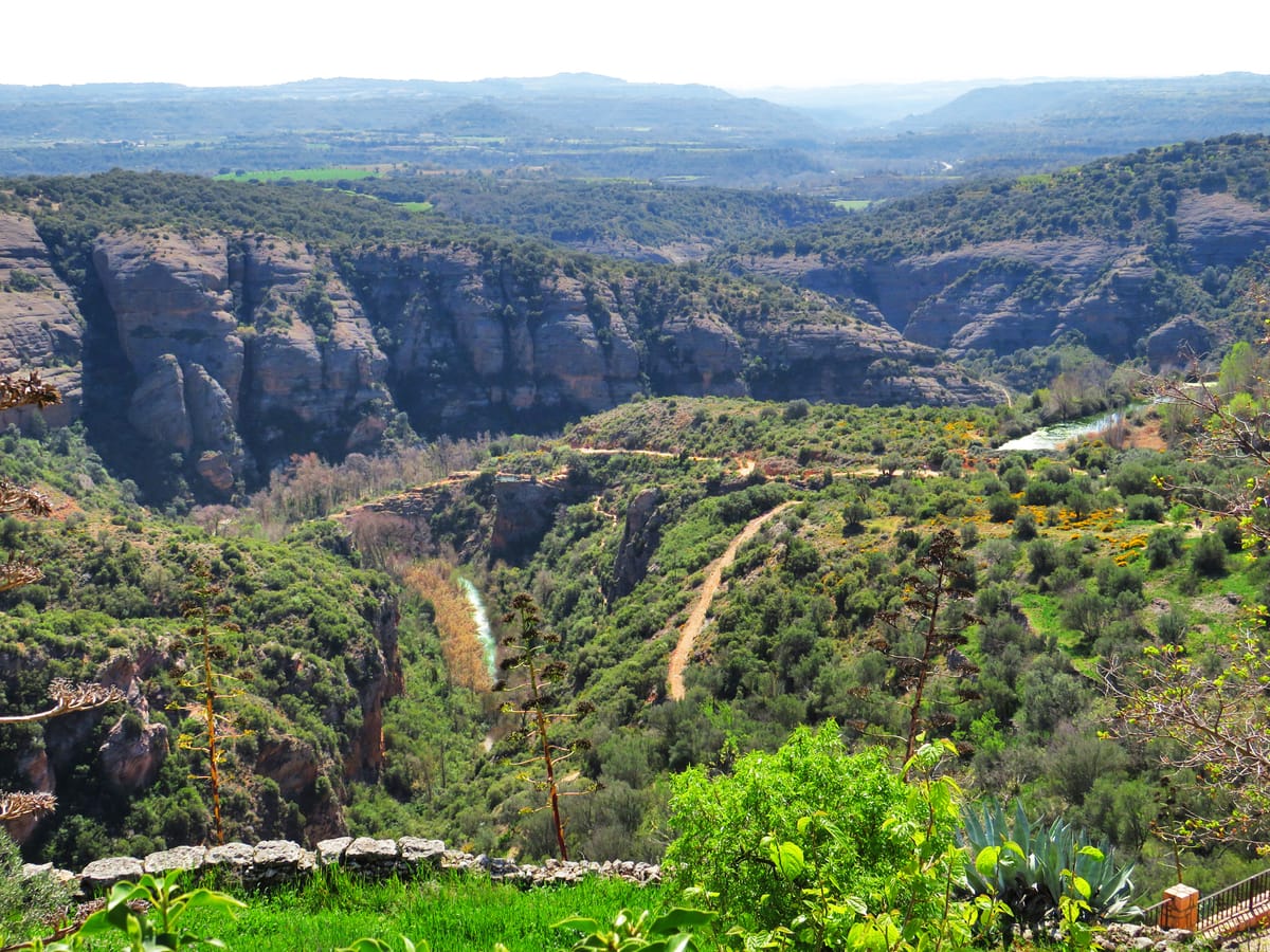
The finishing touch: views over the village and the last stretch of the canyon before the river slips away into the Somontano plains. Here stands the sculpture Gabriel made in 1990, a hollow shaped like a smile through which the wind slips.

Tip

Once back up, try the dobladillos, Alquézar's typical pastry: so thin it folds over on itself several times.

Every stage is in the app, with its map and elevation profile, the points of interest with their tip, and the option to save them for when there is no signal.

Open in JourGuide