Home › Long-distance routes › The Pantaneros Trail › Half day · circular from Chulilla

Chulilla suspension bridgesOne dayOn footKaiKemmann — CC BY-SA 4.0 (Wikimedia Commons)

Chulilla suspension bridges

Chulilla

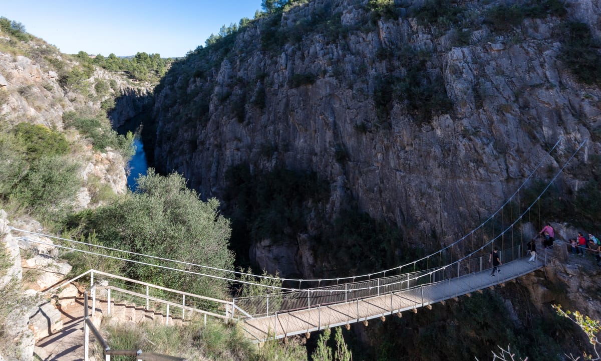
A walk through the Los Calderones Municipal Natural Site, in the canyon the Turia has carved into limestone, forming two pronounced meanders. It is waymarked, has information panels and is fine with children. You cross two suspension bridges, the higher one some fifteen metres above the water. Worth planning for: the town council regulates access on Saturdays, Sundays and public holidays from 9:00 to 14:30, with a capacity limit and a charge of €1 per person; outside those days and hours entry is free. On summer weekends there may be queues or no places left, so check current conditions before setting out. There is almost no shade along the route: bring water and a hat. The first fifty metres are the trickiest part of the path, and access to the Loriguilla dam is closed off by a gate.

10 km1 stagesModerate+340 m / −271 mBest season: Primavera y otoño. En verano el calor aprieta de verdad: no hay sombra en casi todo el recorrido y los fines de semana se masifica.Circular

Stage 1 · Chulilla → Chulilla

10 km3.5 h2/5

A circular walk from Chulilla through the Turia gorges, crossing the river on the two suspension bridges as far as the surroundings of the Loriguilla reservoir, and back to the village.

Elevation profile

↑ 340 m ↓ 271 m

What to see

Start

Santa Bárbara car park

Practical / Access

The public car park on the way out of Chulilla, beside the Santa Bárbara development, is the recommended starting point. There are a few spaces by the road at the trailhead, but they fill up fast.

Tip

From here it is about five hundred metres on foot along the CV-394 to the trailhead. Worth it: it saves you circling for a space on a busy day.
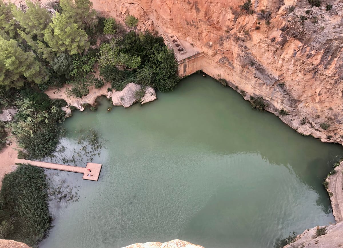
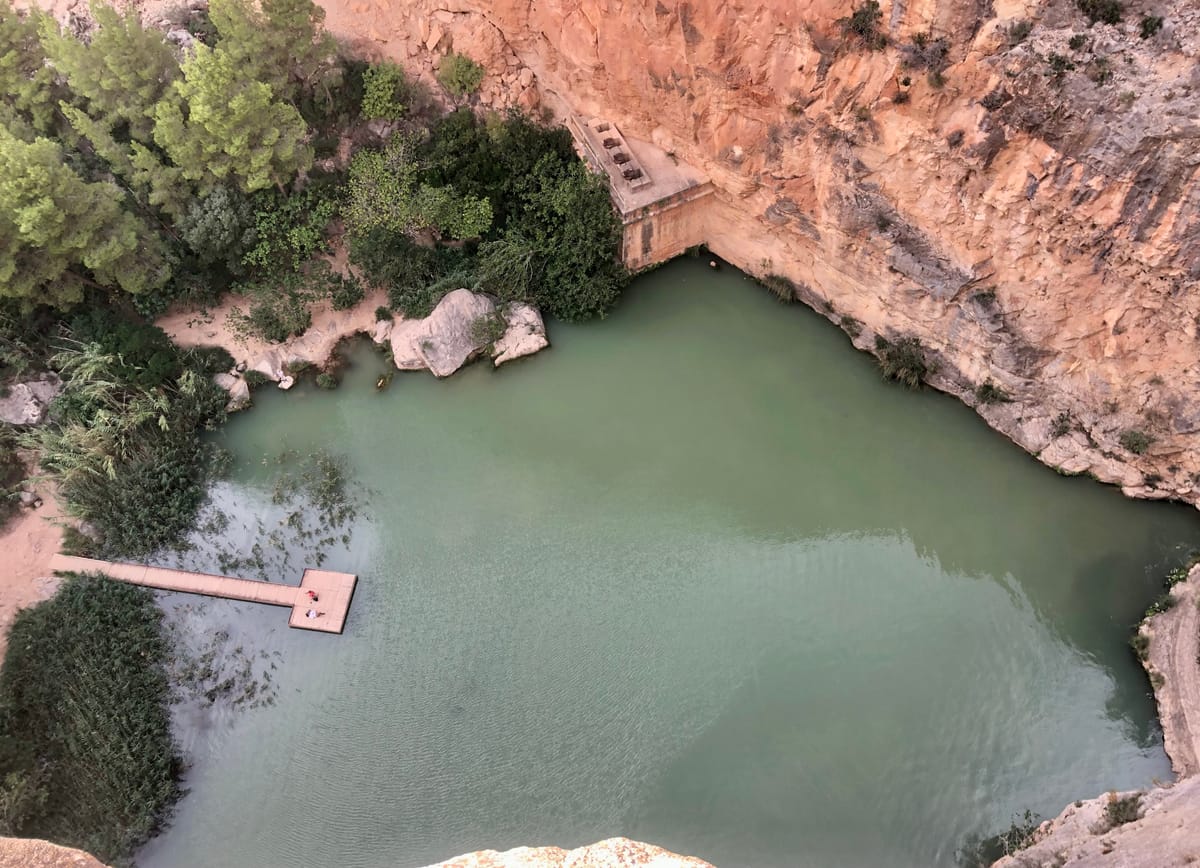
The gorge wallsKaiKemmann — CC BY-SA 4.0 (Wikimedia Commons)

The gorge walls

Nature / Canyon

The river has carved a gorge with vertical walls over eighty metres high. The path skirts the top of the cliffs before dropping to the riverbed.

Tip

These walls are popular with climbers: if you see ropes hanging, they don't belong to lost hikers.

Los Calderones

Nature / Protected site

A Municipal Natural Site designated by the Valencian government. It is the gorge the Turia has carved into limestone, forming two pronounced meanders.

Tip

The first fifty metres of the path are the trickiest part. After that it becomes comfortable.

The suspension bridgesDiego Delso — CC BY-SA 4.0 (Wikimedia Commons)

The suspension bridges

Heritage / Bridges

Two suspension bridges cross the river from one side of the canyon to the other. The higher one stands some fifteen metres above the water and is over twenty metres long.

Tip

This is where people gather, so there may be a small queue. Cross one at a time and don't swing them.

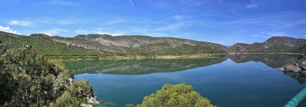
Loriguilla reservoirMarcela Escandell — CC BY-SA 2.0 (Wikimedia Commons)

Loriguilla reservoir

History / Engineering

The destination of those workers and the origin of this route. In the 1950s the pantaneros settled temporarily in Chulilla while the works lasted, and opened this improbable path through the gorges so as not to go the long way round every day.

Tip

Access to the dam is closed off by a gate: you can only see it from outside. If you would rather skip the last stretch, you can turn back earlier without missing anything essential.

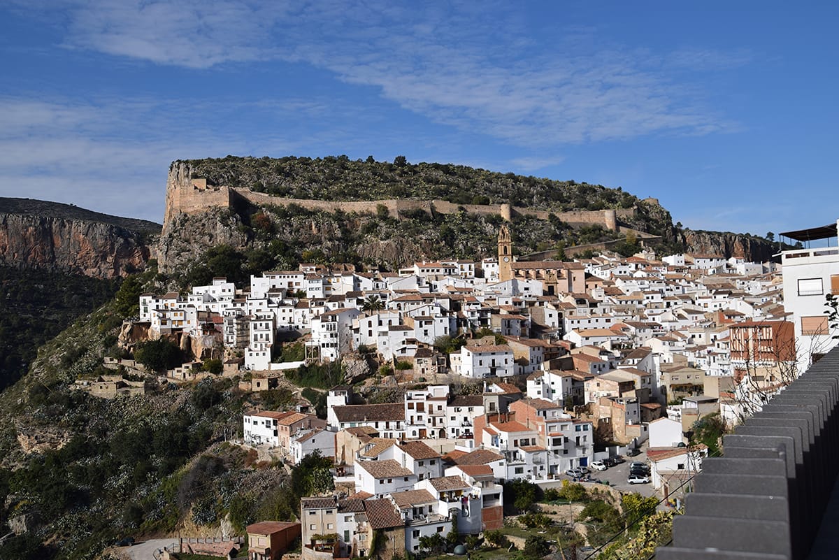
Chulilla and its castleMarcela Escandell — CC BY-SA 2.0 (Wikimedia Commons)

Chulilla and its castle

Heritage / Old town

The village looks out over the canyon from above, crowned by the remains of its castle of Moorish origin. A natural close to the walk before heading back to the car.

Tip

If you have time, climb up to the castle: the views over the gorges from up there explain in one go the landscape you have just walked.

Every stage is in the app, with its map and elevation profile, the points of interest with their tip, and the option to save them for when there is no signal.

Open in JourGuide