6 days🚶On footSimon Burchell — CC BY-SA 4.0 (Wikimedia Commons)
French Way
Sarria → Santiago de Compostela
The same route from Sarria to Santiago, but spread over six days instead of five: the queen stage, Palas de Rei to Arzúa, is split in two with a night in Melide. No stage goes beyond 25 kilometres, so there is time to spare for the octopus, the museums and the churches without racing the clock. The sensible option if you are in no hurry or if this is your first Camino.
114.2 km6 stagesModerate+2541 m / −2751 mBest season: Primavera y otoño ofrecen el mejor clima y menos gente. En julio y agosto hace calor y el camino se masifica. En invierno hay frío, lluvia y algunos albergues cerrados.
The opening stage from Sarria and home to the iconic Km 100 marker. A rolling path through woods and rural hamlets, with a spectacular finish descending to the Belesar reservoir to enter Portomarín up its long stairway.
Elevation profile
↑ 533 m ↓ 640 m
What to see
StartJosé Antonio Gil Martínez from Vigo, Spain — CC BY 2.0 (Wikimedia Commons)
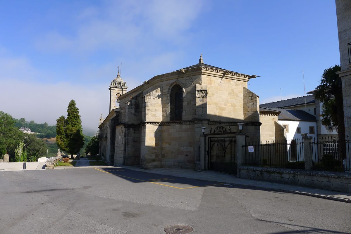
Church of San Salvador
Religion / Romanesque
A 13th-century church in Sarria's old town, right where the stage begins.
Tip
Set off early: the first 13 km are uphill, better tackled in the cool of the morning.
StampVicente Maza Gómez — CC BY-SA 3.0 (Wikimedia Commons)
Monastery of La Magdalena
Religion / Monastery
A monastery at the top of Sarria, one of the last monuments before leaving town.
Tip
A good spot to get your first credential stamp before setting off.
JourGuide
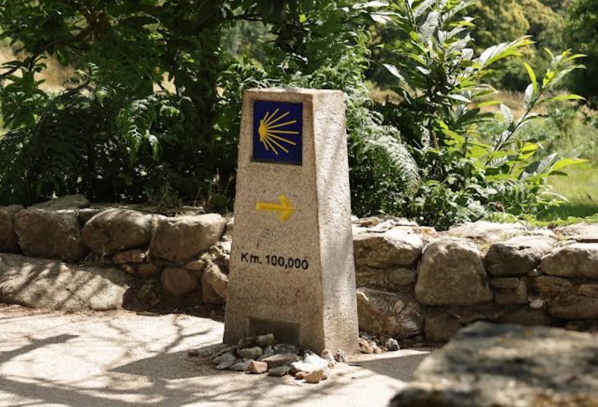
Km 100 Marker
Landmark
The stone marker showing 100 km to Santiago: the obligatory photo and the point from which the walk counts towards the Compostela.
Tip
There's usually a queue for the photo; stop just before or after the official marker.
StampHombreDHojalata — CC BY-SA 3.0 (Wikimedia Commons)
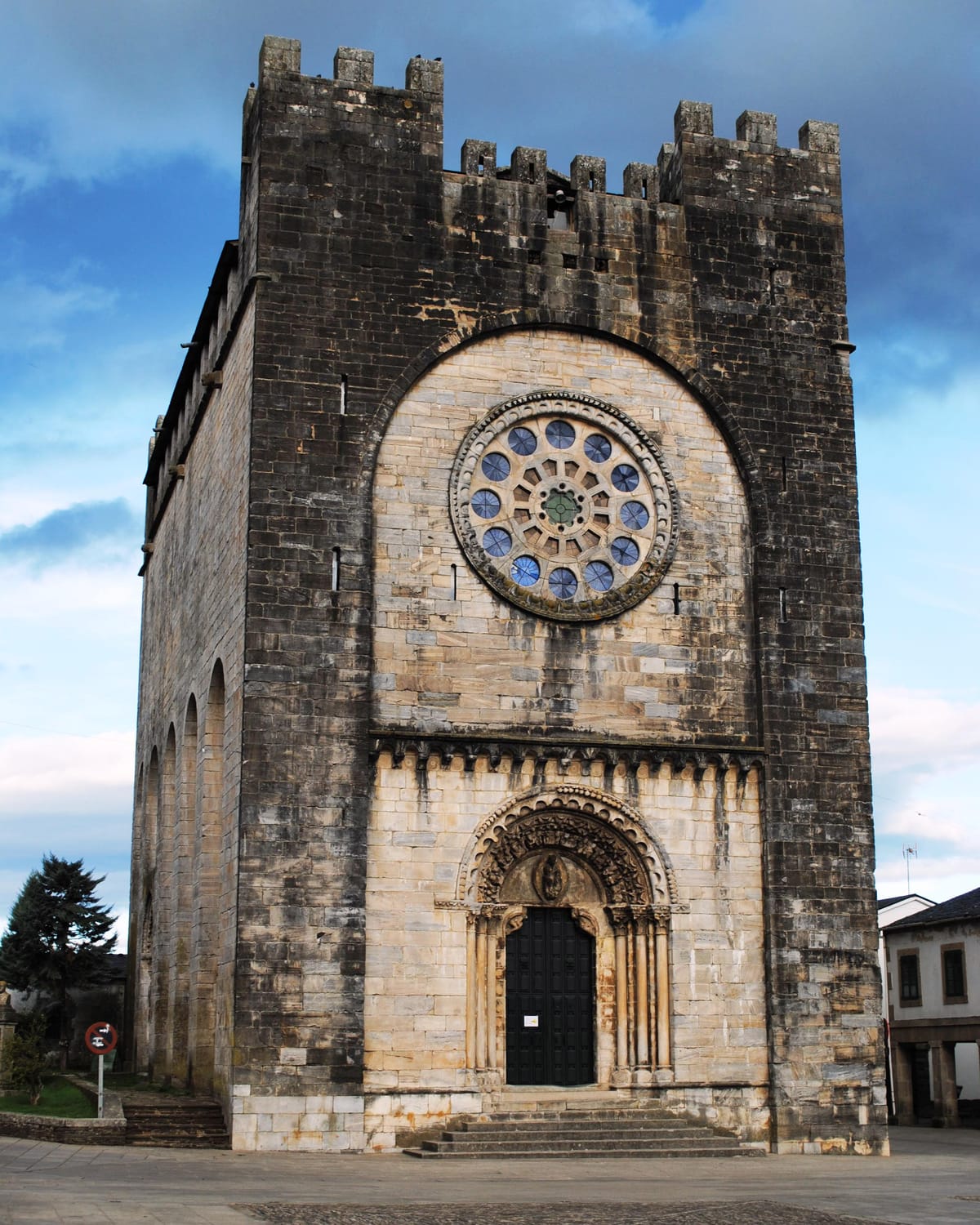
Church of San Nicolás
Religion / Fortress-church
Portomarín's emblem. A 12th-century Romanesque fortress-church of the Order of Saint John, moved stone by stone to its present site when the Belesar reservoir flooded the old village in 1962.
Tip
Look closely at the facade blocks: they still bear the painted numbers used to rebuild it stone by stone.
JourGuide
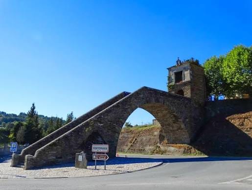
Stairway and Capela das Neves
Heritage
Portomarín's monumental entrance: you reach the town up a grand stairway beneath an arch salvaged from the old medieval bridge.
Tip
Turn around when you reach the top: the view over the reservoir is worth the pause.
Stage 2 · Portomarín → Palas de Rei
25 km6 h2/5
A calm stage among Romanesque churches, a Celtic hillfort and medieval castles. Less demanding than the previous one and perfect for taking in the Galician countryside at an easy pace.
Elevation profile
↑ 646 m ↓ 469 m
What to see
José Antonio Gil Martínez from Vigo, Spain — CC BY 2.0 (Wikimedia Commons)
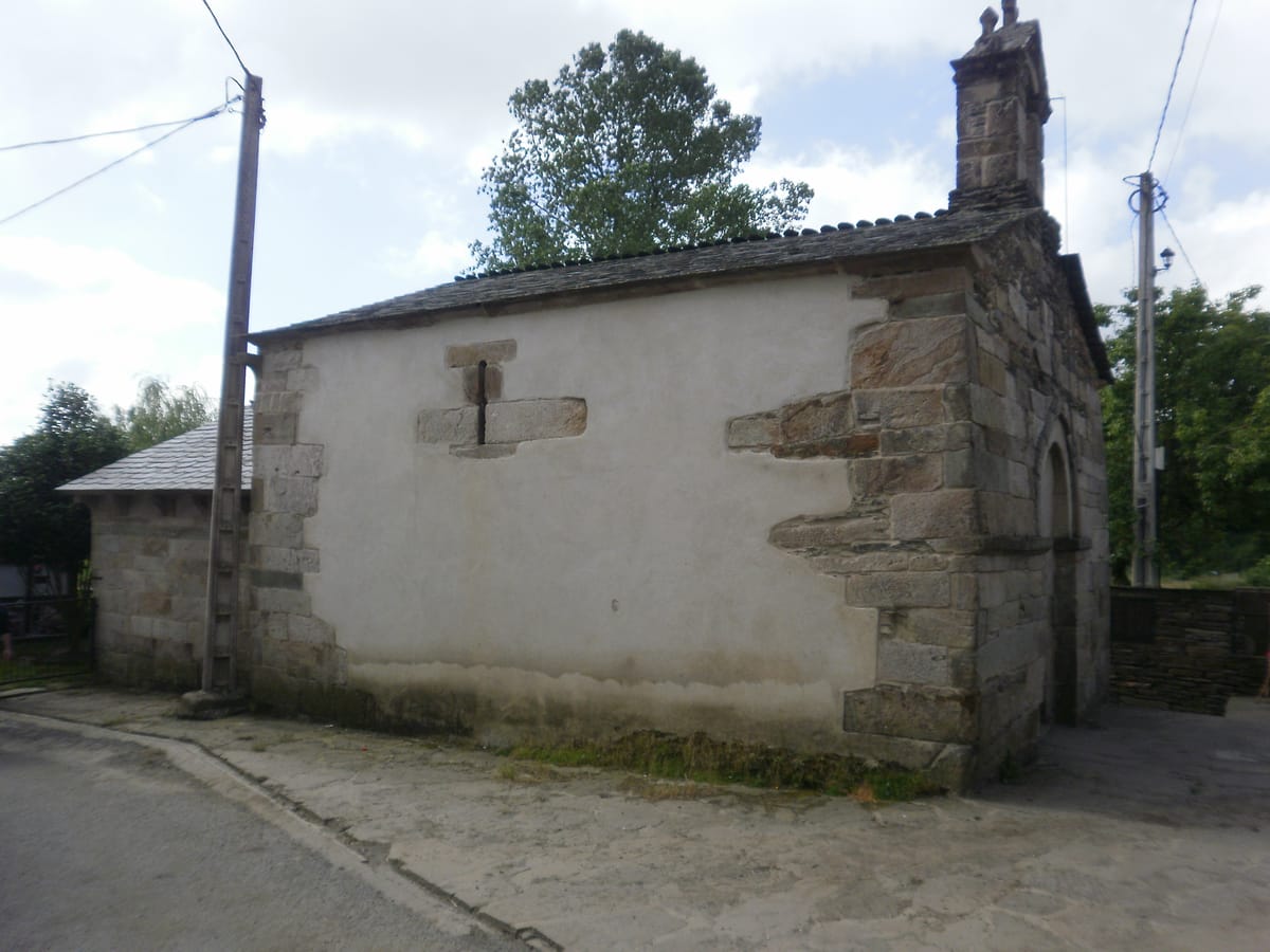
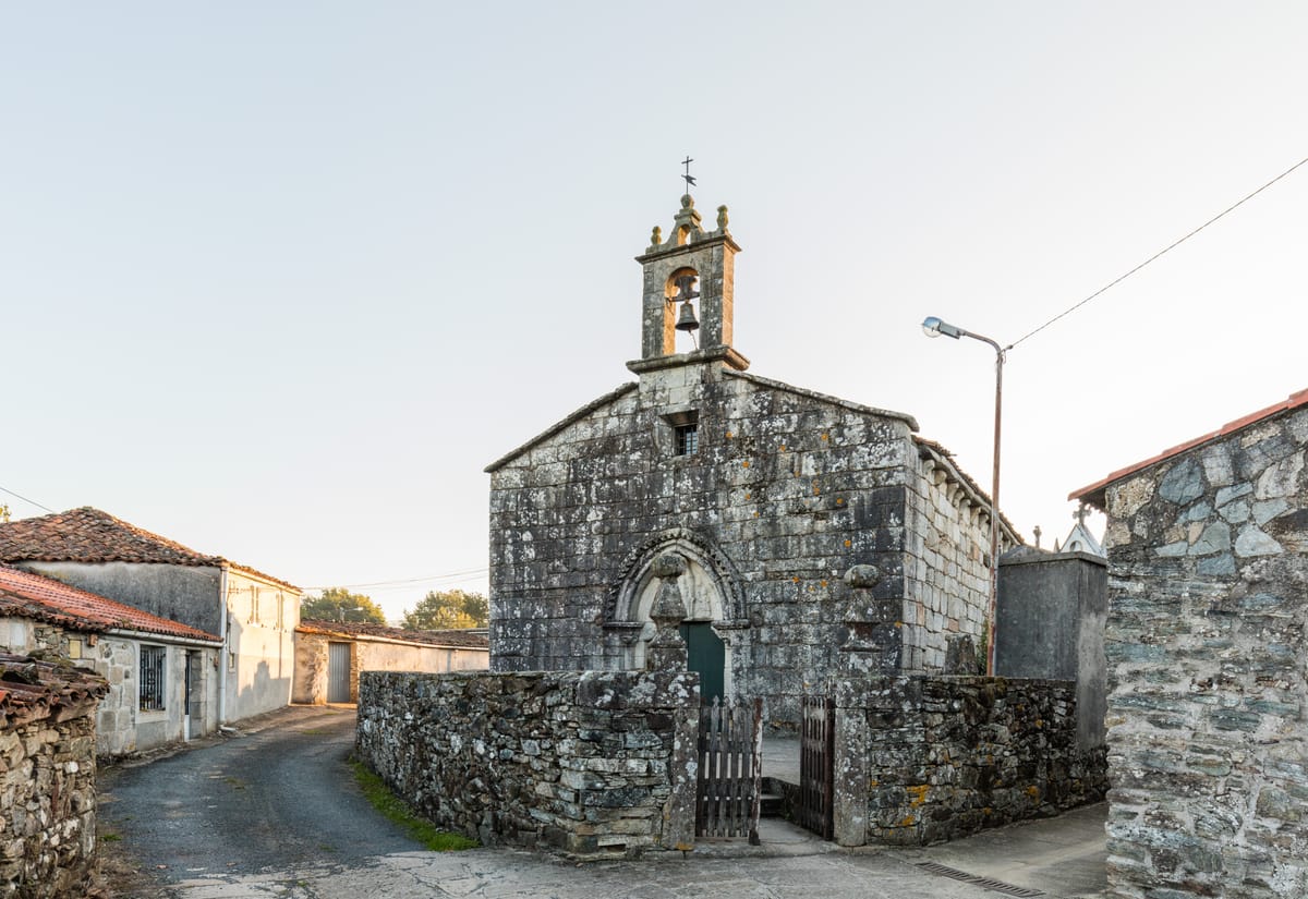
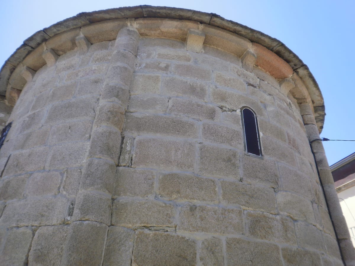
Church of Santa María
Religion / Romanesque
A small 12th-century Romanesque gem right on the path, in the hamlet of Castromaior.
Tip
It's right on the route: a quick stop before climbing up to the hillfort.
Ángel M. Felicísimo from Mérida, España — CC BY 2.0 (Wikimedia Commons)
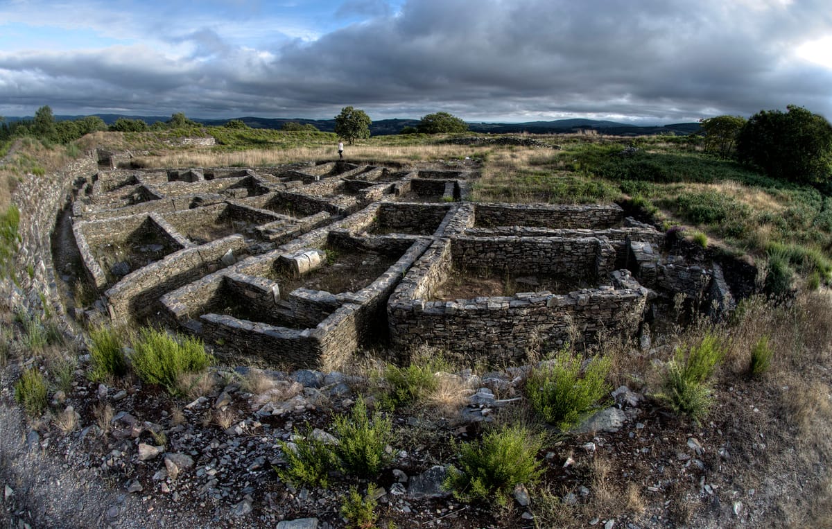
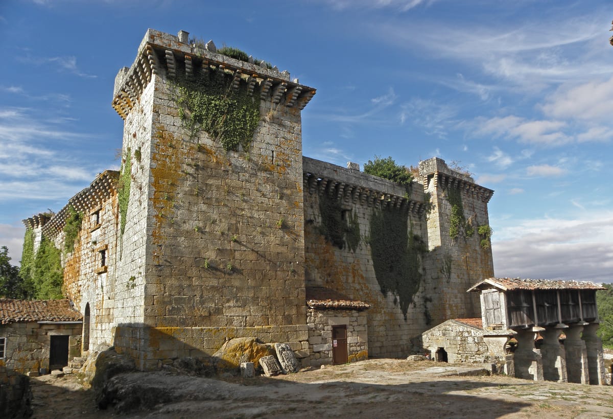
Castromaior Hillfort
History / Archaeological site
One of Galicia's most important hillforts, this fortified Celtic settlement was inhabited between the 4th and 1st centuries BC. Listed as a Cultural Heritage Site in 2010, it looks out over the Miño valley.
Tip
The detour from the path is short and signposted; the views from the top are worth the climb.
JourGuide
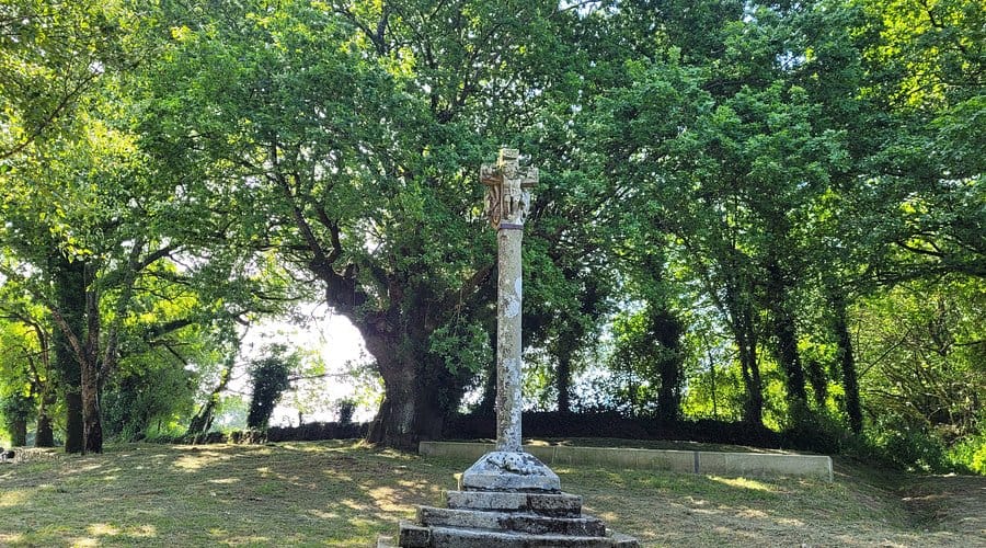
Os Lameiros Wayside Cross
Heritage / Wayside cross
One of the most distinctive wayside crosses on the Camino, carved in 1670 with the symbols of the Passion.
Tip
Look at the base: a carved skull marks the cross's penitential meaning.
StampJourGuide
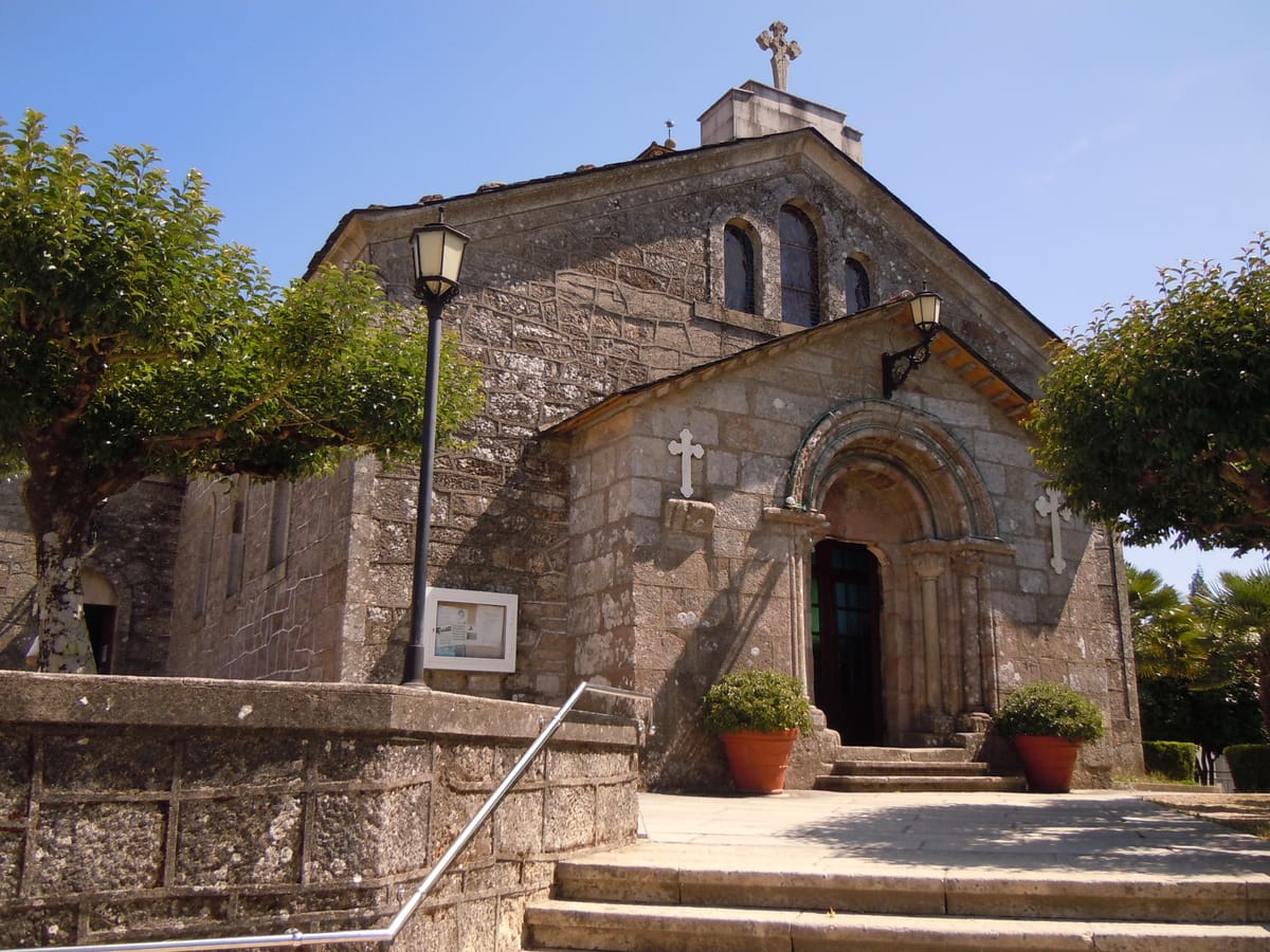
Church of San Tirso
Religion / Romanesque
A church of Romanesque origin in the centre of Palas de Rei, where the stage ends.
Tip
Palas de Rei has every service: a good place to stock up before the hardest stage.
amaianos from Galicia — CC BY 2.0 (Wikimedia Commons)
Pambre Castle
History / Fortress
A 14th-century fortress, among the best preserved in Galicia and the only one in Galicia to withstand the Irmandiño revolts.
Tip
Optional stop, off the Camino: it's about 8 km from Palas de Rei (16 km round trip on foot, about 3 h and a half). If you have spare time after finishing the stage, the most practical way to get there is by taxi or car.
Stage 3 · Palas de Rei → Melide
14.4 km4 h2/5
A calm half day to Melide, capital of Galician octopus. By splitting the long stage here you arrive in time for lunch and in one piece, with the afternoon free for the old town.
Elevation profile
↑ 263 m ↓ 358 m
What to see
JourGuide
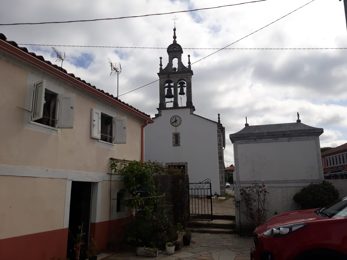
Church of Santa María and the cabazo
Heritage / Hamlet
A hamlet with Roman paving, a 12th-century Romanesque church and a cabazo, the straw-and-timber granary where maize was stored, next to the old infirmary house.
Tip
One of the prettiest hamlets on the stage: take it slow along the cobbled way.
JourGuide
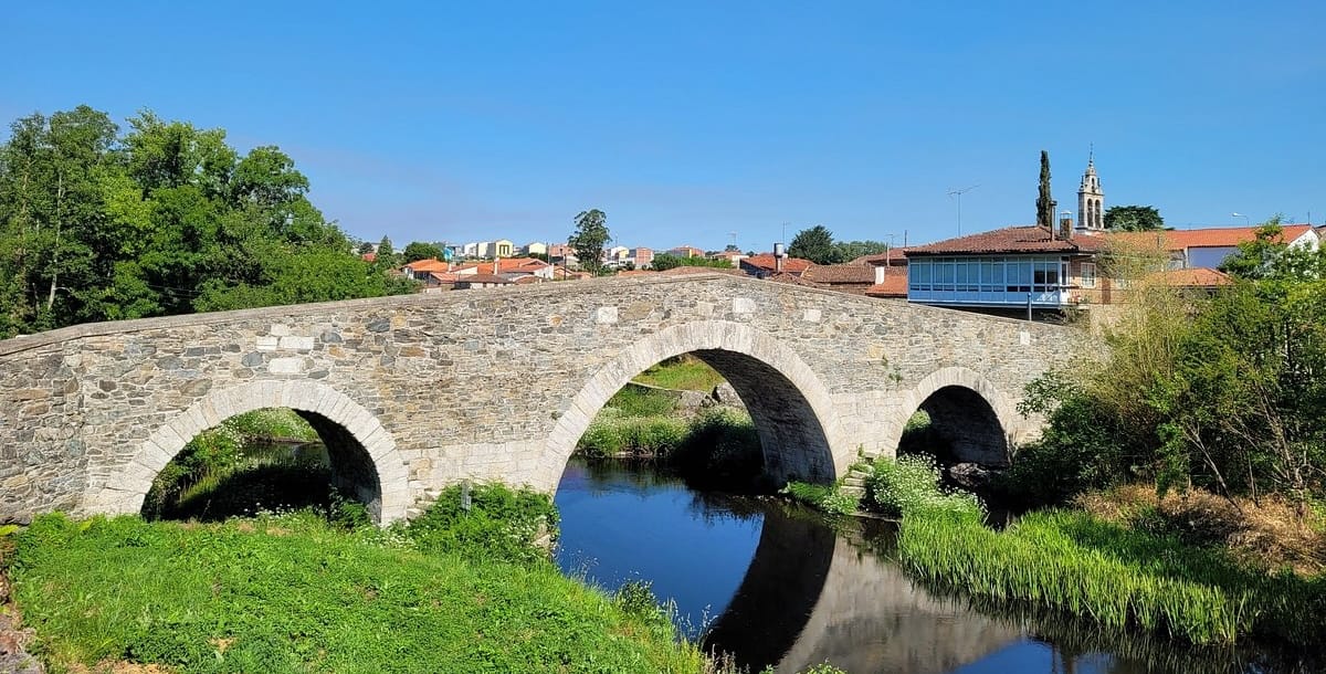
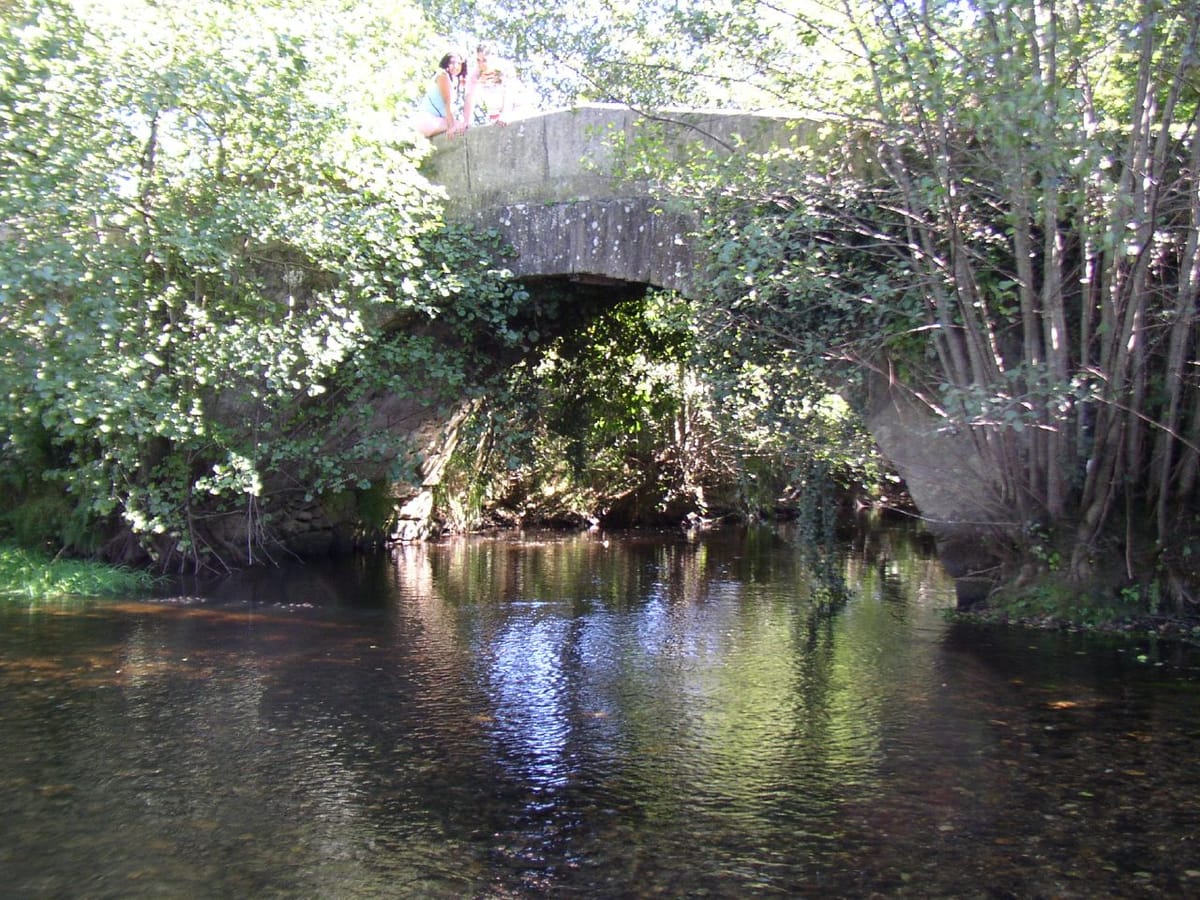
Furelos Medieval Bridge
Heritage / Bridge
You enter Furelos over a beautiful four-arched medieval bridge across the river of the same name. Beside it stand the church of San Xoán and an old pilgrims' hospital.
Tip
One of the most photogenic corners of the day and a good place to rest before Melide.
JourGuide
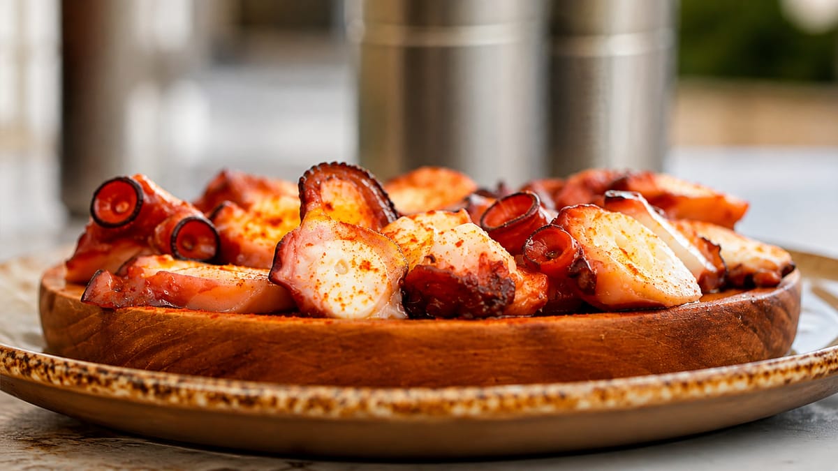
Melide's pulpo á feira
Food & drink
Melide is the capital of Galician octopus and the exact halfway point from Sarria. Its pulperías, such as the historic Ezequiel, serve the most renowned pulpo á feira in Galicia.
Tip
This is the lunch stop par excellence: octopus with a glass of Ribeiro to recharge for the second half.
StampVanbasten 23 — CC BY-SA 3.0 (Wikimedia Commons)
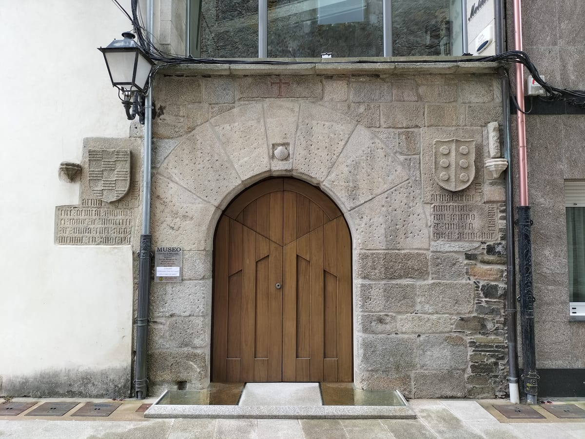
Museo da Terra de Melide
Culture / Museum
An ethnographic museum about the region housed in the old pilgrims' hospital, next to the convent and church of Sancti Spíritus. The Romanesque church of Santa María de Melide is close by.
Tip
If you have time after the octopus, Melide's historic quarter is worth a gentle stroll.
Stage 4 · Melide → Arzúa
13.8 km3.5 h2/5
A short day out of Melide ending in Arzúa, cheese country with its own denomination of origin. With the octopus already inside you and only fourteen kilometres ahead, it is the kindest stage of the whole route.
Elevation profile
↑ 307 m ↓ 366 m
What to see
StampSimon Burchell — CC BY-SA 4.0 (Wikimedia Commons)
Church of Santiago de Boente
Religion
A church dedicated to Saint James with a fountain beside it, a traditional pilgrims' stop.
Tip
A good spot for water and a rest halfway through the stage.
José Antonio Gil Martínez from Vigo, Spain — CC BY 2.0 (Wikimedia Commons)
Ribadiso Medieval Bridge
Heritage / Bridge
One of the loveliest corners of the Camino: a medieval bridge over the river Iso beside one of the route's most beautiful hostels, set in a former pilgrims' hospital.
Tip
After Ribadiso comes the last climb to Arzúa; take the chance to dip your feet in the Iso.
Stage 5 · Arzúa → O Pedrouzo
19.9 km5 h2/5
A gentler day after the tough previous stage. Eucalyptus woods that scent the path, quiet hamlets and the growing sense that Santiago is near.
Elevation profile
↑ 401 m ↓ 498 m
What to see
StampJourGuide
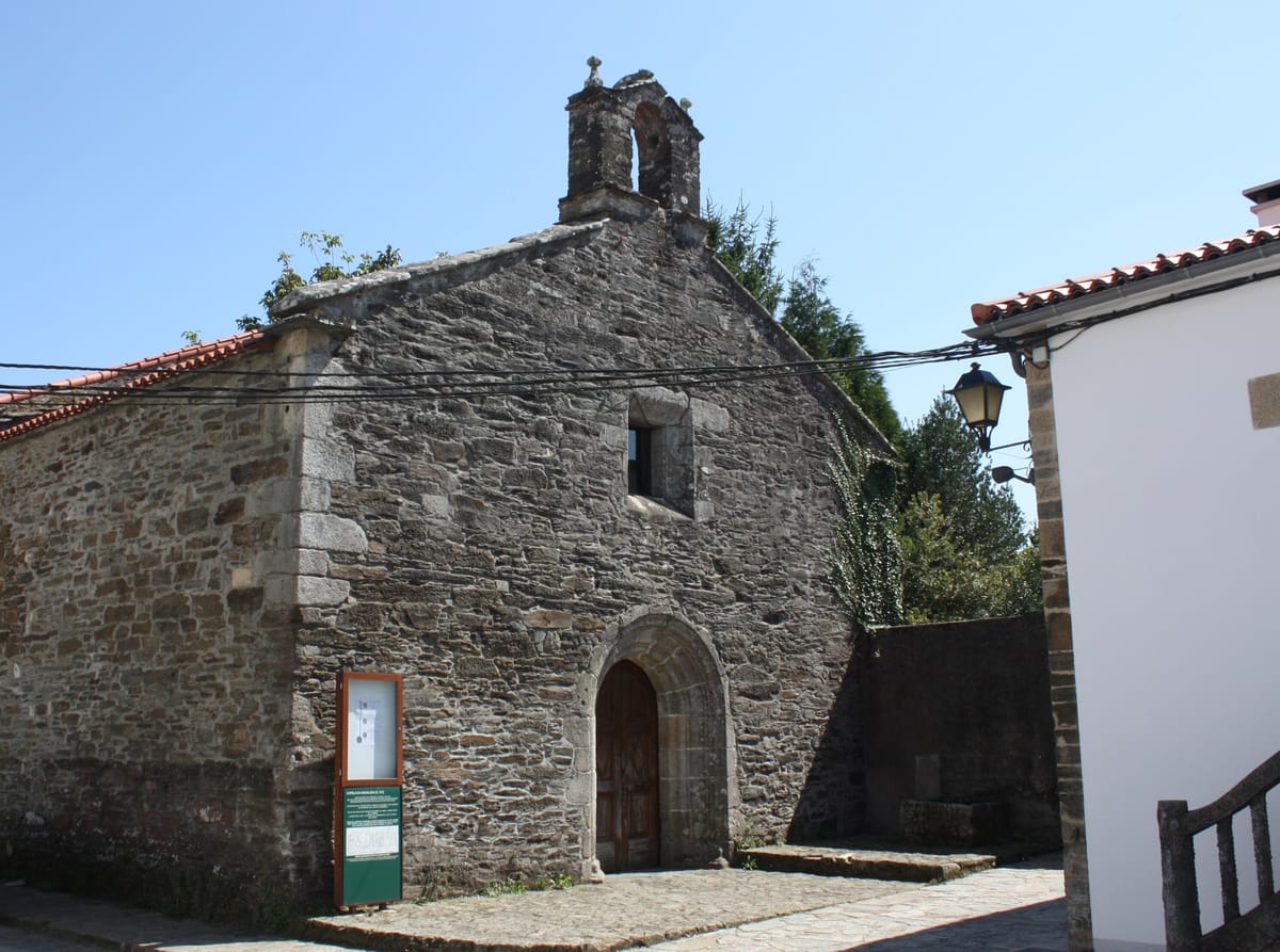
Chapel of A Magdalena
Religion / Gothic
A Gothic chapel, the only remaining trace of Arzúa's old Augustinian convent.
Tip
Arzúa is cheese country with its own denomination of origin: take a piece for the road.
JourGuide
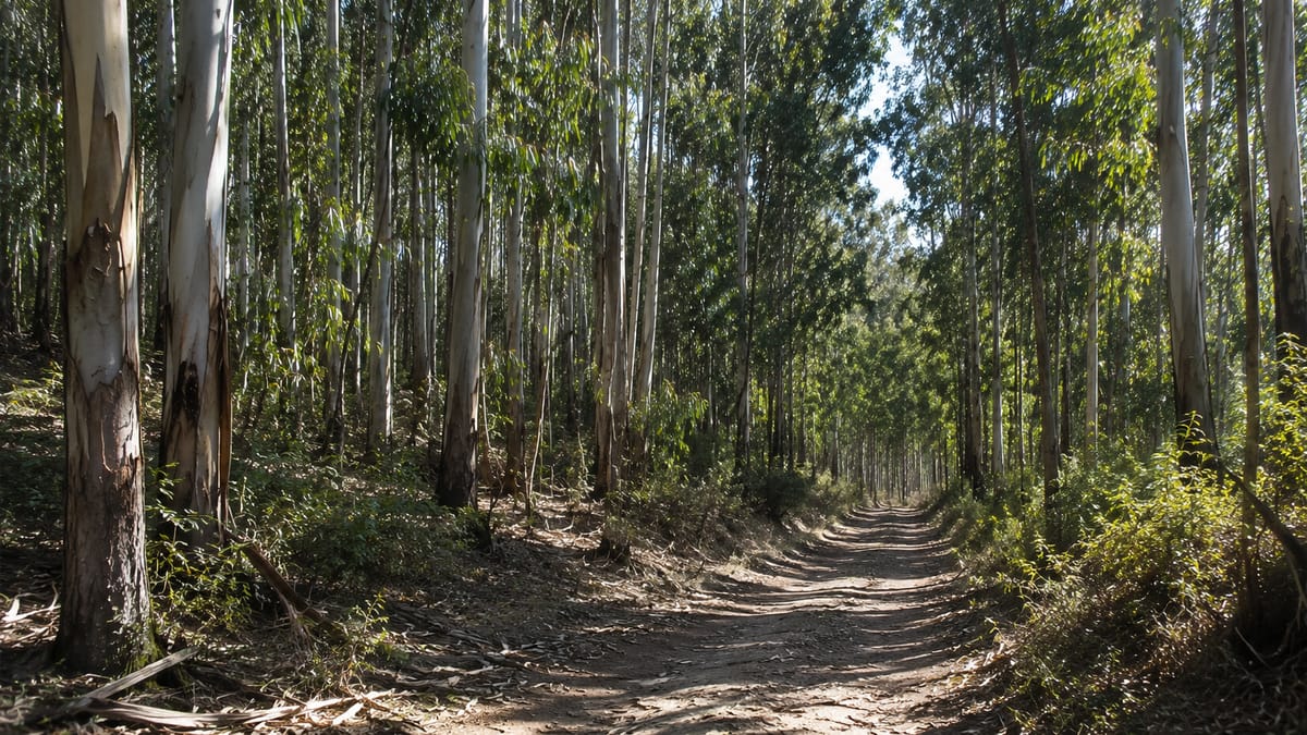
Eucalyptus woods
Nature / Woodland
Stretches of eucalyptus forest that scent the air, one of the most characteristic landscapes of the Galician home straight.
Tip
Breathe in the eucalyptus: it's the smell many pilgrims associate forever with this part of the Camino.
Bene Riobó — CC BY-SA 4.0 (Wikimedia Commons)
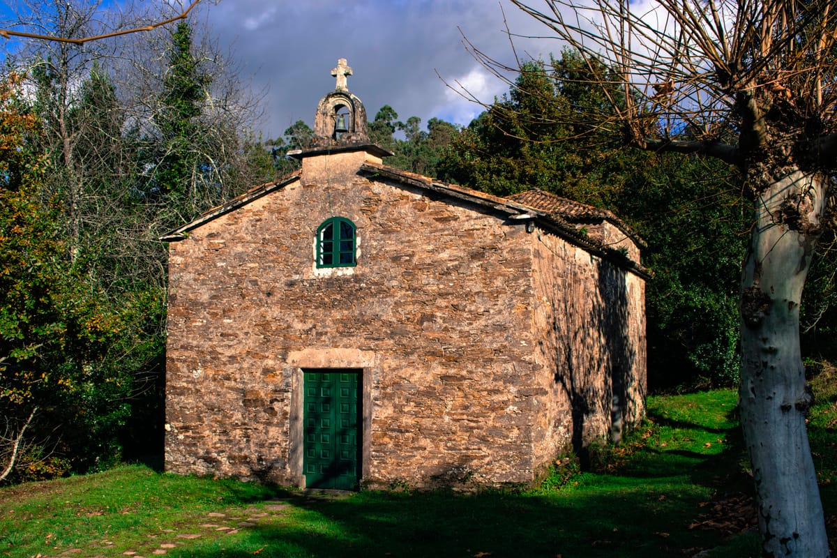
Chapel of Santa Irene
Religion
A small late 17th-century chapel with a fountain to which tradition attributes healing properties.
Tip
Final stage: set off early if you want to make the midday Pilgrim's Mass at the Cathedral.
Simon Burchell — CC BY-SA 4.0 (Wikimedia Commons)
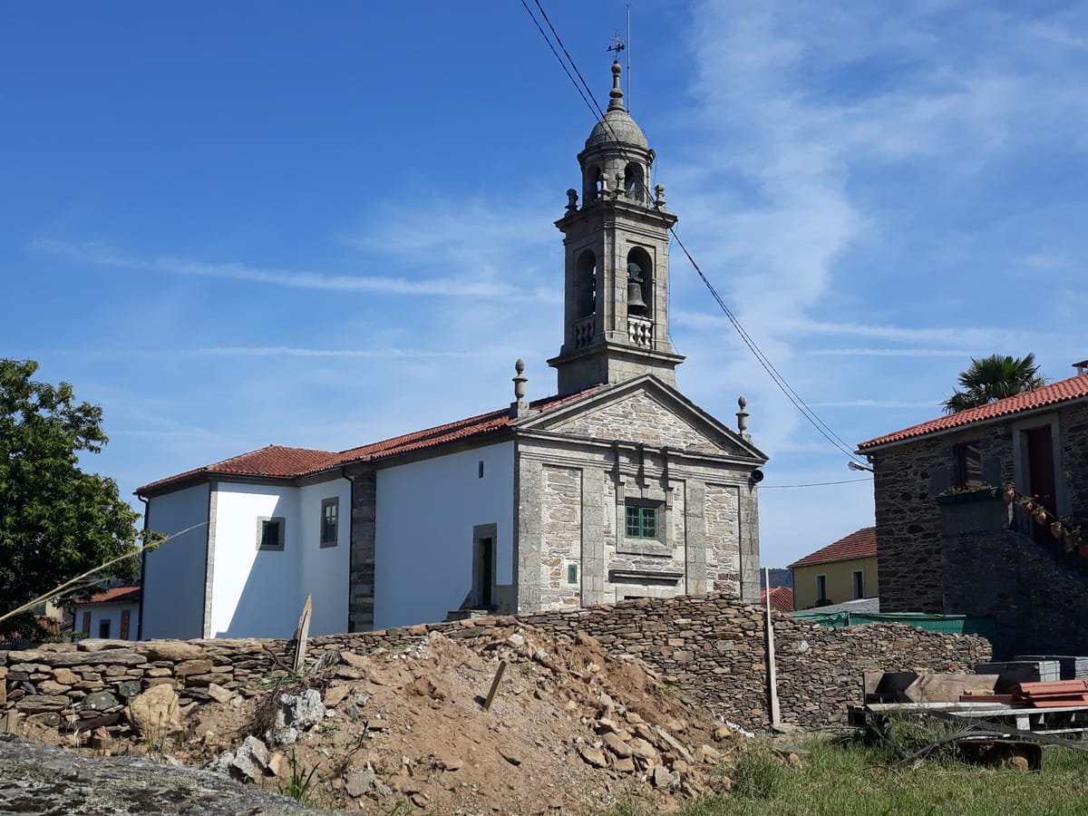
Church of Santa Eulalia de Arca
Religion
The parish church of Arca, very close to O Pedrouzo where the stage ends.
Tip
O Pedrouzo is the last big stop before Santiago: rest well for the final day.
Stage 6 · O Pedrouzo → Santiago de Compostela
19.3 km5 h2/5
The finish-line stage. Woodlands, the loop around Lavacolla airport and the thrill of cresting Monte do Gozo to glimpse the Cathedral towers for the first time. It ends in the Obradoiro Square.
Elevation profile
↑ 391 m ↓ 420 m
What to see
Simon Burchell — CC BY-SA 4.0 (Wikimedia Commons)
Church of San Paio de Sabugueira
Religious / Church
Lavacolla's parish church, at the exact midpoint of the final stage. The Camino makes a small detour to pass through its atrium. The place takes its name from Lavamentula, as the 12th-century Codex Calixtinus calls it: pilgrims washed in the stream here before entering Santiago.
Tip
The last stop with bars and services before Monte do Gozo; from here it is 9.9 km to the Cathedral.
Simon Burchell — CC BY-SA 4.0 (Wikimedia Commons)
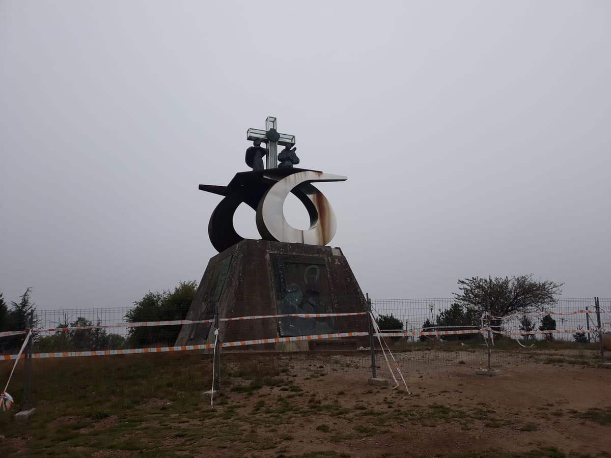
Monte do Gozo
Landmark / Viewpoint
The hill of joy: the spot where pilgrims first catch sight of the towers of Santiago Cathedral after days on the road.
Tip
It's the most emotional moment of the Camino; save some phone battery for the photo of the towers.
StampLuis Miguel Bugallo Sánchez — CC BY-SA 3.0 (Wikimedia Commons)
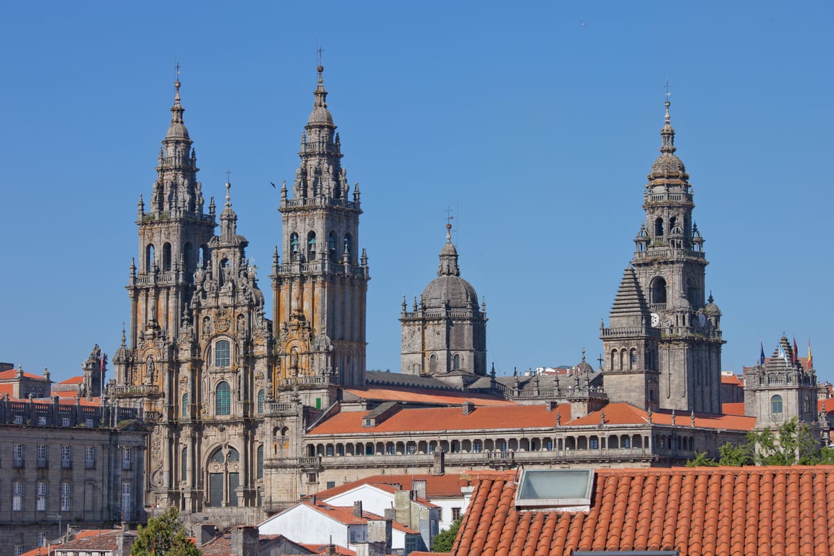
Santiago de Compostela Cathedral
Religion / Finish
The finish. A cathedral raised over the tomb of the apostle James, a Romanesque masterpiece with later additions such as its Baroque Obradoiro facade.
Tip
Go to the midday Pilgrim's Mass; with luck you'll see the Botafumeiro swing. And don't forget to collect your Compostela at the Pilgrim's Office with your stamped credential.
Every stage is in the app, with its map and elevation profile, the points of interest with their tip, and the option to save them for when there is no signal.
 JourGuide
 StartJosé Antonio Gil Martínez from Vigo, Spain — CC BY 2.0 (Wikimedia Commons)